

GRAY — The snow drought may come to an end: The National Weather Service on Tuesday issued a winter storm watch from late Wednesday through Thursday night.
Low pressure lifting out of the deep South could spread “significant snowfall” of 6 or more inches across much of Maine on Wednesday night, according to the Weather Service.
Temperatures will be in the low 20s and roads will quickly become snow-covered and slippery. Heavy snowfall at times could reduce visibility to a half-mile or less.
Slight changes to the storm’s track and strength “could yield significant difference in precipitation, but confidence is increasing for a ‘plowable’ snowfall along the foothills and interior,” the Weather Service reported.
The storm will begin Wednesday night as snow. By Thursday morning, warmer air could change the snowfall to a wintry mix with sleet or freezing rain. The storm is expected to end Thursday night with freezing drizzle.
-

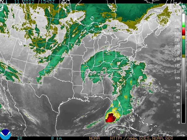
- A color-enhanced image of the impending storm taken on Wednesday morning.
Send questions/comments to the editors.

Success. Please wait for the page to reload. If the page does not reload within 5 seconds, please refresh the page.
Enter your email and password to access comments.
Hi, to comment on stories you must . This profile is in addition to your subscription and website login.
Already have a commenting profile? .
Invalid username/password.
Please check your email to confirm and complete your registration.
Only subscribers are eligible to post comments. Please subscribe or login first for digital access. Here’s why.
Use the form below to reset your password. When you've submitted your account email, we will send an email with a reset code.