

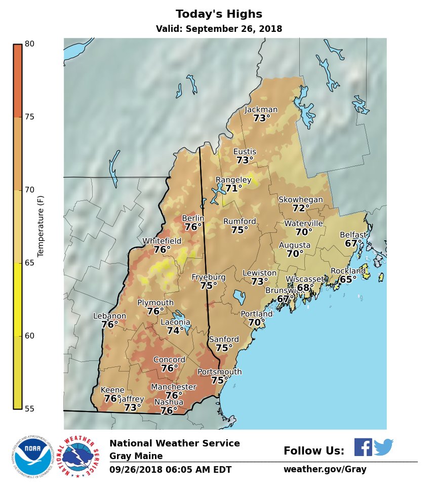
 STATEWIDE (WGME) — Wednesday is going to feel like summer again with warmer and more humid conditions making an appearance.
The main event will be the approach and passage of a strong cold front Wednesday evening through Wednesday night.
The main event this week still looks like the approach and passage of a cold front Wednesday night. Damaging winds the primary threat. 7PM-11PM. pic.twitter.com/MLRj31dQq0
— Charlie Lopresti (@CharlieWGME) September 25, 2018
Potential severe thunderstorms along with damaging winds are the primary threat from 6 p.m. to 11 p.m. The storms will move from west to east.
An isolated tornado can’t be ruled out and that chance is greatest in New Hampshire.
The line of storms should weaken as it approaches the coast.
Expect a rapid return to some sun, cooler temperatures in the 60s, and lower humidity on Thursday.
A weak disturbance will pass south of our area on Friday. We might see some clouds, but no rain is expected.
The weekend is looking pretty nice in Vacationland. A cold front will bring a round of clouds with only the slight risk for a shower Saturday.
The first half of the weekend will be the warmer half. Sunny and cooler conditions will make an appearance Sunday.
Send questions/comments to the editors.

Success. Please wait for the page to reload. If the page does not reload within 5 seconds, please refresh the page.
Enter your email and password to access comments.
Hi, to comment on stories you must . This profile is in addition to your subscription and website login.
Already have a commenting profile? .
Invalid username/password.
Please check your email to confirm and complete your registration.
Only subscribers are eligible to post comments. Please subscribe or login first for digital access. Here’s why.
Use the form below to reset your password. When you've submitted your account email, we will send an email with a reset code.