


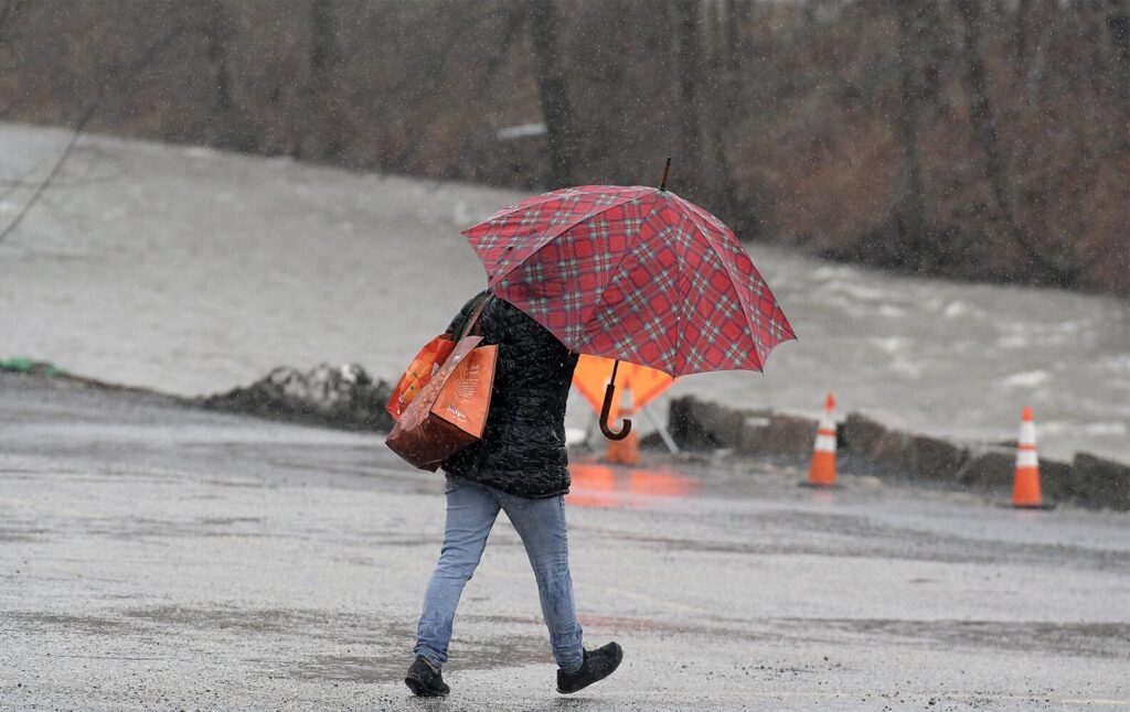
A woman clutches an umbrella Monday in high wind and rain while walking past a swollen Cobbossee Stream in Gardiner. Gusts up to 45 miles per hour and over an inch of rain is forecast before subsiding Tuesday, according to the National Weather Service. Kennebec Journal photo by Andy Molloy
AUGUSTA — Augusta officials closed down Front Street on Monday evening as heavy rains fell on central Maine, increasing the likelihood of a flood along the Kennebec River.
In Hallowell, City Manager Nate Rudy said the city’s Front Street would close around 5 p.m.
Michael Clair, a National Weather Service Meteorologist stationed in Gray, said the snow left by last week’s storm was melted by high dew points, wind and new precipitation. He said the crest of the Kennebec River’s level will be Tuesday afternoon, but began to rise Monday night.
The Kennebec River has the potential to flood in The City of Augusta during our latest weather event. We will be closing the North end of Front Street beginning at 6:00 P.M this evening 04-13-2020. The area will be closed until there is no longer a threat of flooding. pic.twitter.com/aZIWBv3GRP
— AugustaMEPolice (@augustamepolice) April 13, 2020
“The high dew point and the wind … is going to melt most of whatever snow is remaining upstream,” Clair said. “That combined with the rainfall is increasing the threat.”
The crest of the river level is estimated to be at 2 p.m. Tuesday and top out at 11.5 feet, according to weather service projections. That is in the action stage, but just 6 inches from the minor flood stage.
The rising water level forced a response from Augusta city officials. Police Chief Jared Mills issued a news release Monday afternoon stating that the city would close the “North end of Front Street beginning at 6 p.m.” Monday.
“Please make sure your vehicle is not parked on the North end of Front Street … this evening to avoid having your vehicle towed or damaged from the flooding river,” he said.
According to the National Weather Service, temperatures in central Maine hovered around 50 degrees midday Monday. A total of one-and-a-half inches of rain was expected to fall through Monday night. Areas around Augusta were placed under a wind advisory until 10 p.m. Monday as gusts blew as high as 40 mph. More western areas of the state, like Rumford and Norway, were placed under flood warnings.
The rain was expected to clear Tuesday, welcoming a sunny day with temperatures above 50 degrees.
Kennebec County Emergency Management Agency Director Sean Goodwin said Monday that he believed river levels may reach the bulkhead in Hallowell’s Granite City Park and Augusta’s Front Street lot, but all of that could change by Tuesday.
“We don’t know what we’re getting from up north,” he said.
Goodwin said he was more concerned with high wind knocking out power, as many downtown businesses are closed and the flooding is only expected to affect parking lots.
Central Maine Power spokesperson Catharine Hartnett said the company had seen the high wind forecasted and is retaining more than 200 contractors used during Friday’s storm in case of outages today. She said the wind will be more prominent in the coastal areas of the state.
CMP had 15,261 customers without power around 2 p.m. Monday, including 566 in Kennebec County. Hartnett said restoration has slowed down as crews reach areas of the state where repairs were affecting fewer customers.
Hartnett said care facilities and hospitals would be prioritized in the event of outages Monday night.
Send questions/comments to the editors.

Success. Please wait for the page to reload. If the page does not reload within 5 seconds, please refresh the page.
Enter your email and password to access comments.
Hi, to comment on stories you must . This profile is in addition to your subscription and website login.
Already have a commenting profile? .
Invalid username/password.
Please check your email to confirm and complete your registration.
Only subscribers are eligible to post comments. Please subscribe or login first for digital access. Here’s why.
Use the form below to reset your password. When you've submitted your account email, we will send an email with a reset code.