


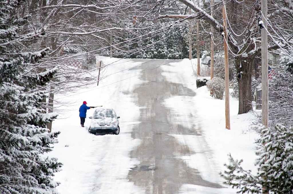


PORTLAND — January has been a very mild month to this point, but it comes to a crashing end by late week.
An air mass originating from southern Greenland will settle into New England by Friday.
What does this mean for Maine? The coldest air of the season so far. High temperatures will only reach the upper teens on Friday afternoon. Plus, a gusty wind between 15 and 25 mph won’t do us any favors.
It will feel close to zero degrees at times on Friday. Some snow is possible near the coast, especially from Penobscot Bay and points east.
Arctic air, together with brisk winds, can lead to dangerously cold wind chill values. https://t.co/MKukSl6IC8 #WinterScience pic.twitter.com/JF87aHgmVH
— NWS Gray (@NWSGray) December 13, 2017
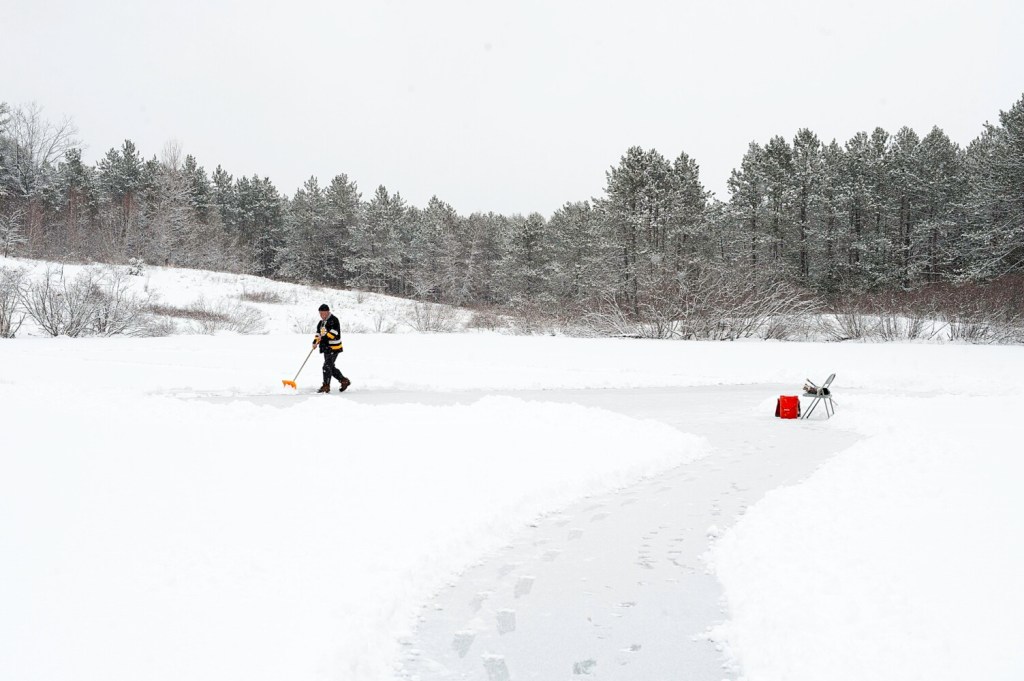
Gusty winds will continue into Friday night, and that will likely be our coldest night of the season. Lows will dip to near or below zero for many inland towns by early Saturday morning.
The wind should relax heading into Saturday. It will still be a chilly day with highs only in the 20s, but at least there will be more sunshine. Temperatures will return to the upper 20s and lower 30s by Sunday.
While cold shots like this are not rare in Maine, they can bring some dangers. Cold, gusty winds lower your body temperature faster if not properly insulated. Frostbite can develop on exposed skin in a matter of minutes.
Send questions/comments to the editors.

Success. Please wait for the page to reload. If the page does not reload within 5 seconds, please refresh the page.
Enter your email and password to access comments.
Hi, to comment on stories you must . This profile is in addition to your subscription and website login.
Already have a commenting profile? .
Invalid username/password.
Please check your email to confirm and complete your registration.
Only subscribers are eligible to post comments. Please subscribe or login first for digital access. Here’s why.
Use the form below to reset your password. When you've submitted your account email, we will send an email with a reset code.