

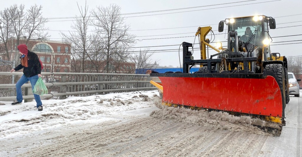
Tuesday’s storm will bring a variety of precipitation types in Maine. Expect snow, to sleet, to freezing rain for most of southern Maine.
Mainers should plan for tricky travel conditions.
Here are the details.
• TIMING: The morning commute will be slippery. The wintry mix ends Tuesday afternoon.
• PRECIPITATION TYPE: Snow to sleet to freezing rain in southern Maine. Snow to sleet in the mountains.
• SNOW/SLEET AMOUNTS: Coating to 3 inches for most of southern and central Maine. Portions of the mountains could see over a half foot.
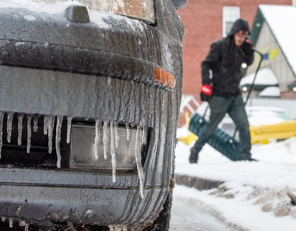
• ICE: A glaze up to 1/4″ of ice. Parts of southern NH may experience over 1/4″ of ice. Ice amounts should not be enough for widespread outages.
• WIND: No impacts from wind are expected.
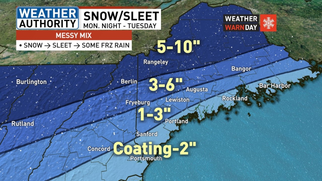
WGME graphic
Our wintry mix will end as some drizzle or freezing drizzle Tuesday afternoon. We’ll get a nice break Wednesday and most of Thursday before our next storm moves in.
Snow is likely Thursday night through Friday. It’s looking like a plowable snow areawide. Some sleet is possible with that storm as well. Stay tuned.
Send questions/comments to the editors.

Success. Please wait for the page to reload. If the page does not reload within 5 seconds, please refresh the page.
Enter your email and password to access comments.
Hi, to comment on stories you must . This profile is in addition to your subscription and website login.
Already have a commenting profile? .
Invalid username/password.
Please check your email to confirm and complete your registration.
Only subscribers are eligible to post comments. Please subscribe or login first for digital access. Here’s why.
Use the form below to reset your password. When you've submitted your account email, we will send an email with a reset code.