


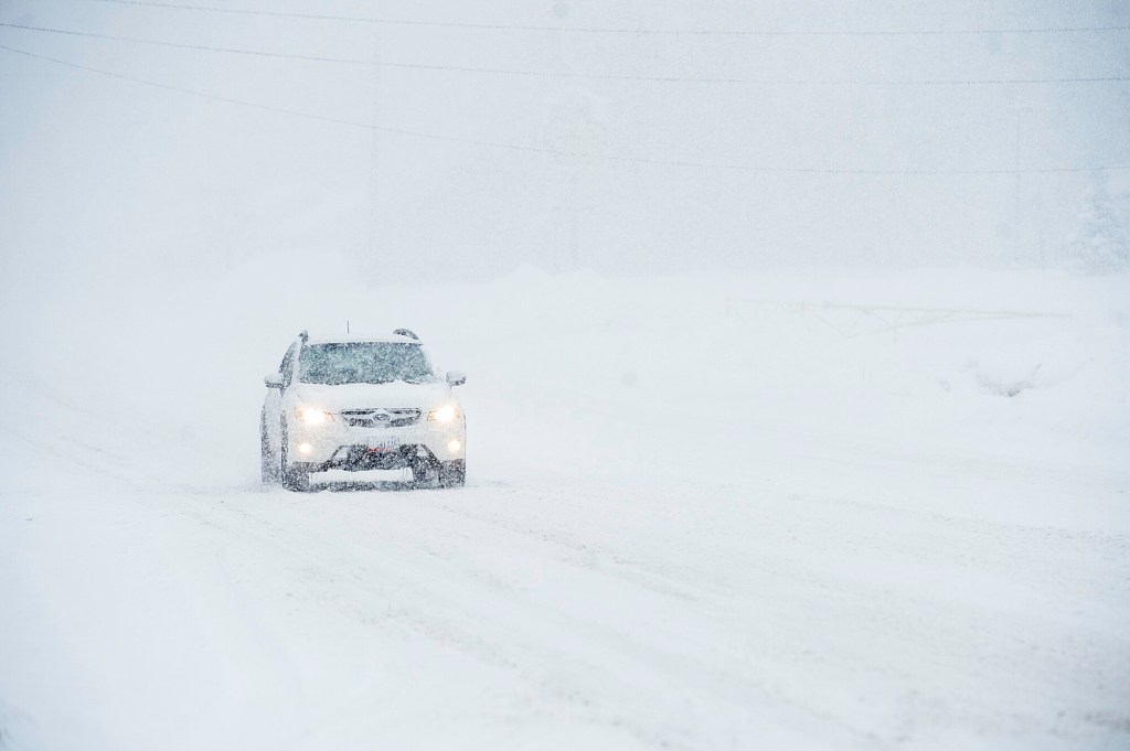


LEWISTON — Central and southern Maine were hit Monday with some of the worst winter weather yet this season. Lewiston and Auburn had accumulations of around 5 inches of snow before 8 a.m. Monday and 9 inches by noon according to National Weather Service.
National Weather Service forecaster Hunter Tubbs said around 2:20 p.m. areas within the storm could expect an average of 2 to 4 inches more before the storm lightened up in the late afternoon.
Snow continued to fall past 5 p.m.
The bull’s-eye of the storm stretched from Augusta over to Auburn with the bulk of the snowfall coming down along the Interstate 95 corridor, he said. Portland saw slightly less accumulation than other areas due to slushy conditions. Lewiston and Auburn were expecting temperatures in the teens overnight into Tuesday.
“Northern Maine is actually seeing less snowfall than your area because it’s farther from the storm,” Tubbs said.
The last update from National Weather Service, released around 3 p.m., showed the deepest snow in Androscoggin County was 10.6 inches in Lisbon at 1:45 p.m. At 1:30 p.m., Norway showed 11 inches of snow and a 2:30 p.m. check in Oxford and Casco showed 9.3 inches.
Around 10 a.m., spotters reported 5.4 inches in Farmington with the least snowfall in Rangeley, 2.5 to 4 inches, and the most in New Sharon with 6.9 inches. The same update showed 5.5 inches in Bethel and 6.3 to 6.8 inches in Hartford. In Portland, 6.1 inches was reported, with 4.3 inches at the Jetport and in South Portland.
As of 10:39 a.m., Augusta was reported to have 6.2 inches, but at 6 p.m. WMTW listed Augusta with 11.4 inches.
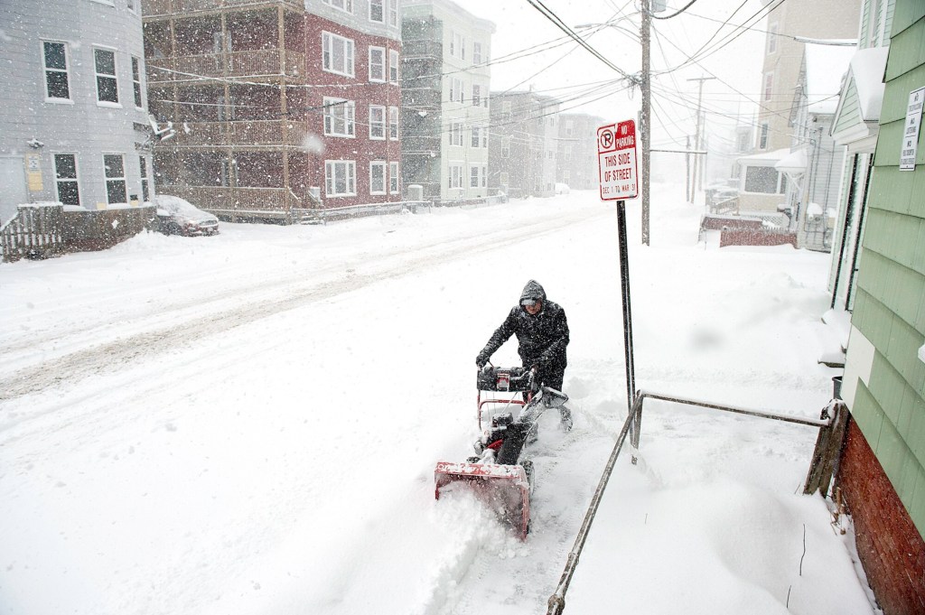
Lewiston Director of Marketing and Communications Angelynne Amores said as of about 3 p.m., police had 45 vehicles towed and 25 ticketed vehicles were later moved by their owners.
“As for accidents, Lewiston police (reported) several minor accidents, but residents appear to be doing a good job at staying off the roads,” Amores said. “A controller box went down with a hit and run early this morning at Middle and Main streets. Public Works has already repaired it and it us up and running now.”
Amores said public works has reported no shortage of salt and sand was ordered well before the season.
Central Maine Power had just 12 outages listed in Androscoggin County as of 6 p.m. Monday. Outages in Oxford County were 25, and 27,353 in York County.
Another storm is forecast for late Wednesday into Thursday.
National Weather Service forecast showed a good chance of heavy snow mixed with freezing rain around 4 a.m. Thursday with temperatures around 22 degrees. The mix will continue until about 1 p.m. when precipitation turns to rain or freezing rain with temperatures reaching a high of 37 degrees.
Copy the Story LinkSend questions/comments to the editors.

Success. Please wait for the page to reload. If the page does not reload within 5 seconds, please refresh the page.
Enter your email and password to access comments.
Hi, to comment on stories you must . This profile is in addition to your subscription and website login.
Already have a commenting profile? .
Invalid username/password.
Please check your email to confirm and complete your registration.
Only subscribers are eligible to post comments. Please subscribe or login first for digital access. Here’s why.
Use the form below to reset your password. When you've submitted your account email, we will send an email with a reset code.