
Randy Berry is a former fire chief, state representative and papermill worker. When the Wausau Paper Corp. mill in Jay and Livermore Falls closed in 2009, he earned a bachelor’s degree in geography at the University of Maine in Farmington through the Trade Adjustment Assistance program, but his world today is all about being prepared for emergencies.
Name: Randall “Randy” Berry
Resident town: Livermore
Age: 58
Job: Assistant plans/training/operations officer at Androscoggin Unified Emergency Management Agency.
What are your responsibilities in your position? I maintain a public resource inventory for fire, emergency medical service, police, emergency management agency, public works in Androscoggin County. Recently I’ve taken on chemical reporting responsibilities. I prepare and provide preparedness and public information materials; I am the liaison for the Community Emergency Response Team. I have been integrating Geographic Information Systems tools to nearly all facets of my work. I think GIS is an important tool for good government.
What type of emergency planning projects are you working on? I have a lot of projects in the works. I am currently updating our resource inventory while also thinking about how I can improve the mapping we do for chemical emergency planning. I’ve been working on a hazard vulnerability assessment tool to help facilities update their emergency plans for flood hazards and potential threat zones for extremely hazardous substance facilities.
A day care provider who was working on a project for a college class knew that the state was adding a requirement for emergency plans for day cares, so we worked up a model. It was a good learning experience for me, and Director Joanne Potvin even prepared a training session for emergency planning for day cares.
I have created what I call “community maps,” with local fire stations, town offices, 911 roads and addresses, etc., and shared with the towns as a base map. We can add other layers, such as shelters, during an event.
“Emergency services planning maps” for each town may include analyses to support (Insurance Service Office) community fire ratings, such as within 5 miles from the nearest fire station, closest hydrant and closest mutual aid, and a county-wide (plus) hydrant layer that includes dry hydrants. The greatest challenge is to keep data current and useful. My co-worker, Joan Bouchard, has been very helpful.
Have you been involved in special events planning? I’ve been collaborating with Rosemary Mosher, GIS manager at the city of Auburn. Auburn is preparing for events for their 150th celebrations during the coming year. She is the GIS mastermind, but I have been lucky to learn and experiment with some of the tools for emergency personnel for event planning. She’s actually incorporated some of my apps within her apps. We met with some fire, police and city officials at Auburn Police Department during the Dempsey Challenge and I am really interested in working with both cities.
Are there any plans to develop debris sites in case of a major disaster? During the ice storm of (1998) towns were scrambling to find room to stockpile and process debris. Some choices had environmental concerns, such as being on top of critical aquifers. (Hurricanes) Katrina and Sandy were examples of tremendous amounts of debris that had to be cleaned up. I think in Maine we usually think of trees, but we should also have a plan for other demolition debris in case of a major flood or hurricane, for example. Steve Gould started as the Livermore Falls interim town manager when I was working on mapping locations that towns might expect to locate debris. He was interested in my project and has been proactive to establish an appropriate site plan to separate materials for processing and to qualify for Federal Emergency Management Agency reimbursement for debris management.
What apps have you developed pertaining to emergency management?I’ve been developing and experimenting with apps for damage assessments. We can start to gather and share information that will provide situational awareness for responders and officials, such as immediate hazards, i.e. wires down, road flooding, culvert washouts, etc. We’ve trained our CERT and some local EMA directors. We have an app that allows crowd-sourced photos and videos. This can be used to gather and share local views of the approaching storm, flooding and wind damage for rescue, response, recovery and cleanup phases.
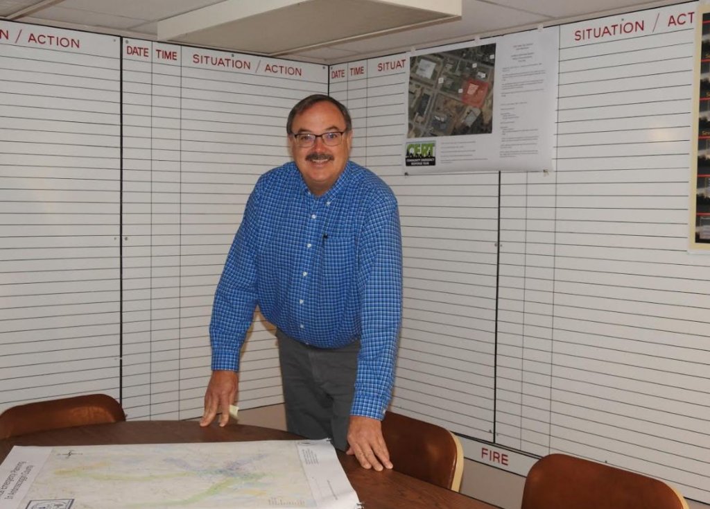
Randall Berry of Livermore is the assistant plans, training and operations officer at the Androscoggin Unified Emergency Management Agency in Lewiston. (Submitted Photo)
Comments are no longer available on this story