


This summer was the hottest on record in Portland, although recent history suggests 2020 may not hold that title for long.
As if the pandemic summer of 2020 didn’t offer enough ways to be remembered (or purposely forgotten), meteorologists at the National Weather Service in Gray announced this week that the period from June to August was also the warmest since record-keeping began in 1940.
The average temperature for the three-month period in Portland was 70.5 degrees – more than 1.5 degrees warmer than the previous record (set just two years ago) and 3.6 degrees hotter than the “normal” summer temperature in the city. The daily average highs and lows are used to compute those figures.
July also went down in the record books as the hottest month ever in Portland, with an average temperature (computed using the daily average highs and lows) of 73.7 degrees. While that would seem delightfully cool to many residents of the mid-Atlantic and southern U.S., it was nearly 5 degrees hotter than normal for Mainers.
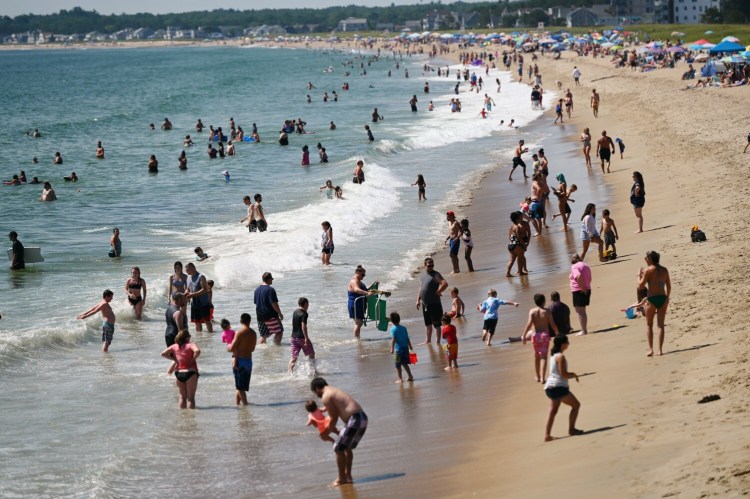
A string of daytime temperatures in the 90s was obviously a key factor. But what made the summer of 2020 so unusual – and unpleasant for many – was the fact that the relief often never came when the sun went down.
“Although the hottest temperature was 94, there were a total of 13 days that reached 90 or higher,” reads the National Weather Service’s seasonal climatological report for June to August. “The warmth was even more pronounced in nighttime lows as the temperature did not cool as much in the humid conditions.”
On July 27, the mercury never dipped below 78 degrees, which was a first for Portland. In fact, records were either set or tied 23 times from June to August, according to the report.
In a possible indication of how Maine’s climate is changing, the four warmest summers on record in Portland since 1940 have occurred since 2010. And the three hottest summers have all been since 2016.
The 10 coolest summers in Portland, on the other hand, took place between 1946 and 1986, according to statistics from the National Weather Service.
Those warming trends have clear implications for Maine’s fisheries – such cool-loving species like lobster and cod – but also the state’s forests, farms and seasonal tourism businesses. While warmer spring and summer temperatures could be a boon for some types of farming, they can be a death knell for iconic species like moose and have already allowed ticks and invasive pests to spread further north.
This summer’s warmer temperatures in Maine have been accompanied by unusually dry conditions.
Just 7.96 inches of rain fell in Portland from June to August, which was 2.58 inches below normal. While Portland wasn’t nearly as parched in 2020 as it was in 1999, when a measly 4.1 inches fell on the city over the three-month period, the lack of rainfall has led to drought conditions in Portland and elsewhere around the state.
The U.S. Drought Monitor currently says the Greater Portland area, southern Cumberland County, all of coastal and parts of interior Maine are in a “moderate drought.” Such a designation means there is the possibility for damage to some crops and pastureland as well as “some water shortages developing.”
Roughly one-third of the state comprising parts of Aroostook, Penobscot, Piscataquis, Somerset and Washington counties, meanwhile, are designated as being in a “severe drought.” There are currently no areas suffering from “extreme” or “exceptional” drought, but there doesn’t appear to be much relief on the immediate horizon.
“Conditions may worsen over the next seven days statewide due to below normal rainfall and a continued trend of above normal temperatures,” Tom Hawley of the National Weather Service said in a statement.
As for the longer-range forecast, meteorologist Maura Casey said the three-month outlook for September through November suggests there’s a 58 percent chance for above-normal temperatures and only a 9 percent chance of below-normal temperatures.
Comments are not available on this story.
Send questions/comments to the editors.
