

Hurricane Teddy is getting closer and will impact Maine on Tuesday. With high winds in our ongoing drought, there is an elevated fire danger.
The exact track will keep the storm well east of us, but we can expect many impacts in Maine.

Hurricane Teddy’s forecast path National Weather Service map
WINDS: It will be a breezy Tuesday. By Tuesday evening, winds may gust over 20 mph out of the northwest. It stays breezy into Wednesday.
FIRE DANGER: With the ongoing drought, sunny skies Tuesday morning and early afternoon, very low humidity, and strong winds, there is an elevated fire risk for Tuesday and Wednesday. If a fire should spark up, winds will make it spread quickly.
WAVES: There is a Tropical Storm Warning in the waters far off of New England. Waves increase in height Tuesday. By Tuesday night, waves could reach 14 to 29 feet.
COASTAL FLOODING: Coastal waters should also see high waves. This could result in some splash over and minor coastal flooding, especially around high tide. High tides: 2:24 a.m. and 2:44 p.m. Monday, 3:20 a.m. and 3:39 p.m. Tuesday, and 4:22 a.m. Wednesday.
RAIN: No rain is expected from Teddy except possibly in far eastern Maine Tuesday night. Western Maine will only see afternoon and evening clouds from Teddy. Maine sees no significant chance for rain in the near future.
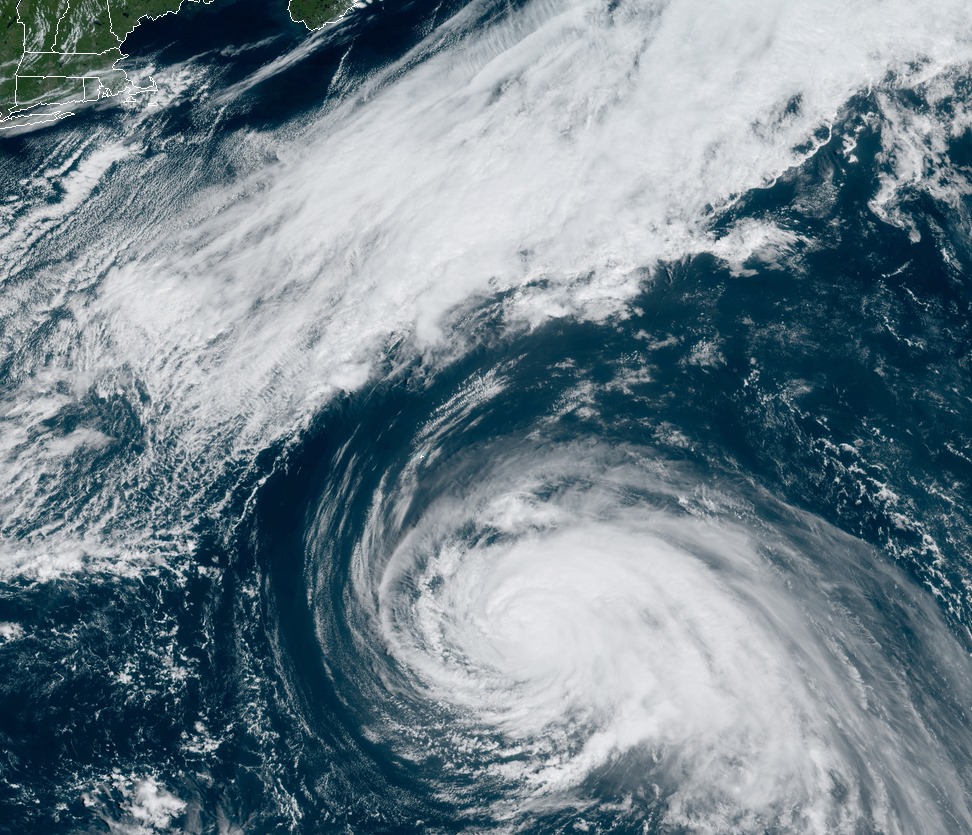
Hurricane Teddy satellite image as of Sunday, Sept. 20. National Weather Service image
Send questions/comments to the editors.

Success. Please wait for the page to reload. If the page does not reload within 5 seconds, please refresh the page.
Enter your email and password to access comments.
Hi, to comment on stories you must . This profile is in addition to your subscription and website login.
Already have a commenting profile? .
Invalid username/password.
Please check your email to confirm and complete your registration.
Only subscribers are eligible to post comments. Please subscribe or login first for digital access. Here’s why.
Use the form below to reset your password. When you've submitted your account email, we will send an email with a reset code.