


A winter storm on Martin Luther King Jr. Day caused problems across the state, but fewer lingering power outages than anticipated.
Forecasters had predicted potentially widespread outages because of heavy, wet snow forecast for inland areas and high winds along the coast.
But of the 30,000 customers who lost power during the storm, all but about 268 had electricity restored by about 10 p.m., Central Maine Power Co. said in a statement. Emily Spencer, a CMP spokesperson, said crews would be working into the night to restore power to customers still without it.
“Though we are proud of the progress we’ve made so far, our job is not done until each and every one of our customers have their power restored,” Adam Desrosiers, CMP’s vice president of electric operations, said in a statement.
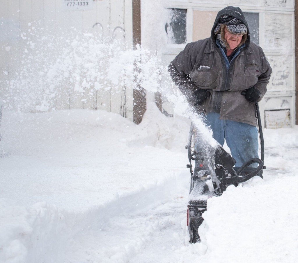
Jim Stevens struggles Monday with the heavy wet snow in his driveway on Myrtle Street in Auburn. “When I was young I loved the snow. I skied and snowmobiled but now that I’m older I really hate it,” he said while taking a break from snowblowing. Russ Dillingham/Sun Journal
About 4,500 customers were without power in Hancock and Washington counties late Monday afternoon. But at 9 p.m. that number had dwindled to 418, said Amanda Cummings, a spokesperson for Versant Power, which serves northern and Down East Maine.
Monday’s winter storm brought a mix of precipitation and wind to various parts of the state. Coastal communities got little or no snow accumulation while inland communities got up to 10 inches. Wind gusts were much stronger along the coast.
The National Weather Service Office in Gray reported that Portland got 0.6 inches of snow, while Naples got 9 inches. Cumberland got 3.7 inches of snow, Augusta recorded 5.5 inches, North Windham got 6.4 inches, Lisbon Falls got 6.5 inches, Bridgton, 7 inches, Norway, 7.5 inches, Acton, 9.5 inches, Rangeley, 9.3 inches and Bethel, 10 inches.
The precipitation turned to mostly rain along the coast early Monday, which, combined with high winds, led to some coastal flooding and street closures. Several police departments in York County posted photographs of waves crashing onto roads near the ocean. In Wells, a police cruiser camera caught waves washing over Webhannet Drive.

A woman looks out from the doorway of a building on Portland Pier to survey the flooding around high tide Monday. Joel Page/Staff Photographer
“The ocean is angry today,” Wells police wrote in a Facebook post.
Traffic on Route 1, which crosses low-lying marshland in Scarborough, was delayed after the road flooded around noon. Long Beach Avenue in York was closed to traffic Monday morning, but it reopened about 1 p.m., police said.
Snow-covered roads, heavy, wet snow on roofs, and high winds caused problems in parts of the state. The highest wind gust of the day, 63 mph, was recorded atop Mount Agamenticus in York, according to the weather service. A 54 mph gust was recorded at the Portland International Jetport, and gusts hit 46 mph in Cape Elizabeth, 53 mph in Rockland and 50 mph in York.
News Center Maine reported that 41 people were evacuated from a nursing home in Milbridge on Monday afternoon when the roof at Narraguagus Bay Health Care on Main Street collapsed. Residents were placed with family or relocated to other nursing homes, according to Washington County Sheriff Barry Curtis. No one was injured, Curtis told News Center Maine.
Police cruisers blocked East Main Street in Yarmouth after a car went into the water Monday just before noon. Police told News Center Maine the incident was weather-related and no injuries were reported. The victim sat on top of the car while waiting for emergency responders to arrive.
The Woodstock Fire Department in Oxford County said a tractor-trailer truck crashed into an apartment building Monday morning on Route 26 in Bryant Pond causing extensive damage but no injuries. Authorities attributed the crash to speed and weather.

Chris Spinato cuts up a branch that fell in front of his home on North Street in Portland in high winds and rain Monday. Joel Page/Staff Photographer
Another cold snap is expected Tuesday, likely creating icy conditions on sidewalks and driveways in the morning, said Derek Schroeter, a National Weather Service meteorologist. High temperatures along the coast Tuesday will climb into the 20s, but inland and mountain areas are likely to only reach the teens.
“Temperatures are going to drop pretty quickly overnight,” Schroeter said. “It will probably freeze things up pretty good tonight.”
Wednesday will feature a moderate warmup with temperatures in the 30s.
Send questions/comments to the editors.

Comments are no longer available on this story