

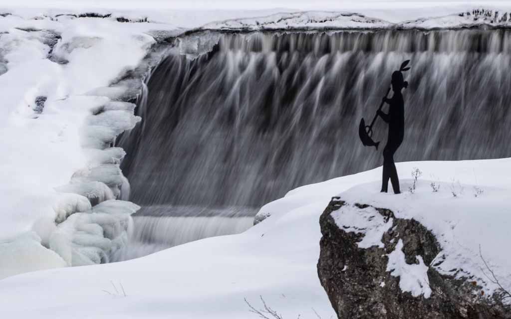
Water cascades over a frozen dam Thursday at J. Eugene Boivin Park in Rumford along the Androscoggin River. Russ Dillingham/Sun Journal
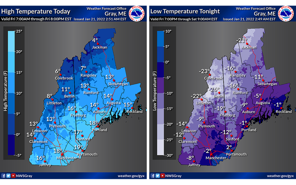
An arctic air mass moves Friday into Maine, and the cold air will stay through Saturday.
Temperatures will peak in the teens and single digits today. Light winds also are expected, according to the National Weather Service. Overnight, clear skies and light winds will let air temperatures fall well below zero. Coastal areas will be warmer.
Sunday will warm up gradually, but it will remain cool through early next week. Light snow showers are possible in late Sunday. The next chance for more widespread precipitation will hold off until at least Tuesday.
Write this down before you can’t read it
• If power outages occur, CMP urges customers to call the toll-free outage hotline: 1-800-696-1000. Or you can report an outage online.
• If you’re going to use a back up generator in a power outage, CMP has generator safety information.
• The American Red Cross has tips for preventing and thawing frozen pipes.
The Maine Emergency Management Agency has winter storm safety tips for:
• If Stranded with your Vehicle
• Wood Burning and Lung Health
Send questions/comments to the editors.

Success. Please wait for the page to reload. If the page does not reload within 5 seconds, please refresh the page.
Enter your email and password to access comments.
Hi, to comment on stories you must . This profile is in addition to your subscription and website login.
Already have a commenting profile? .
Invalid username/password.
Please check your email to confirm and complete your registration.
Only subscribers are eligible to post comments. Please subscribe or login first for digital access. Here’s why.
Use the form below to reset your password. When you've submitted your account email, we will send an email with a reset code.