


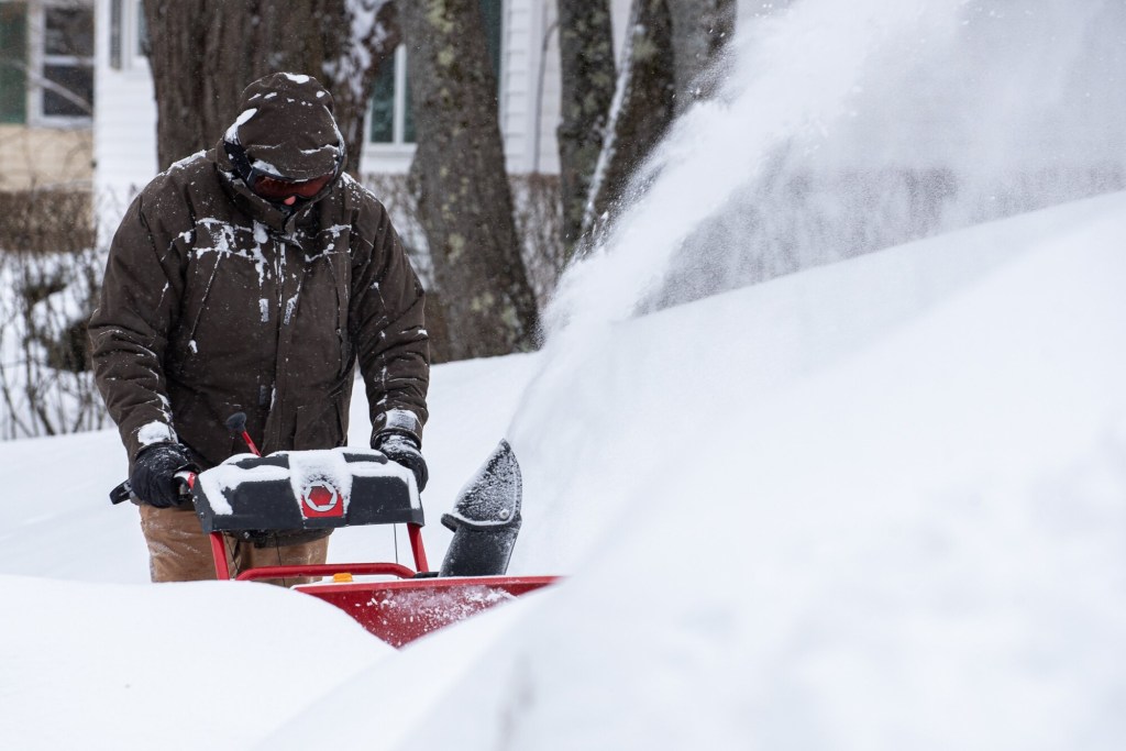
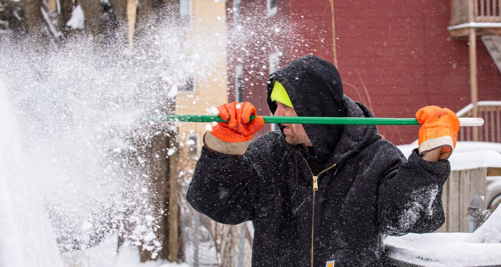
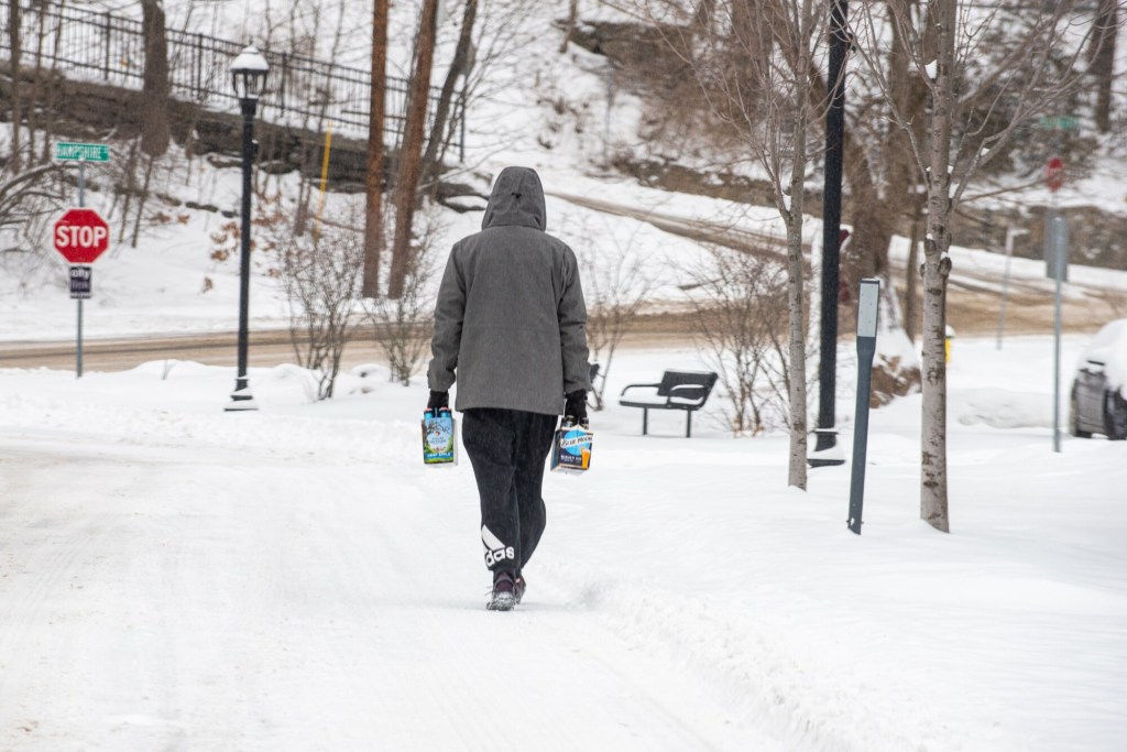
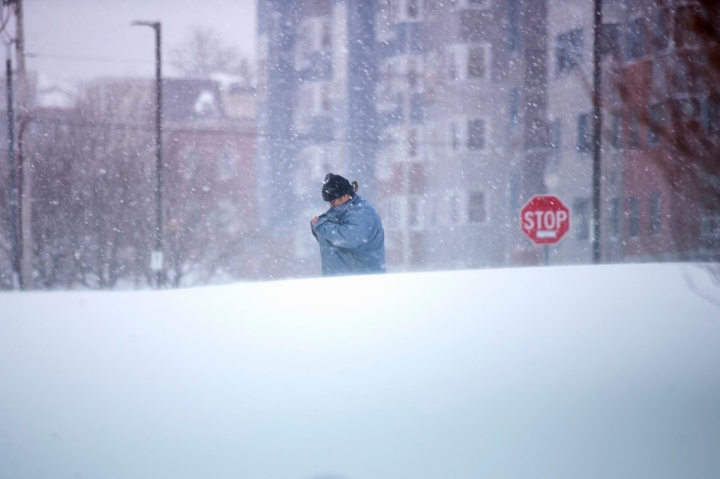
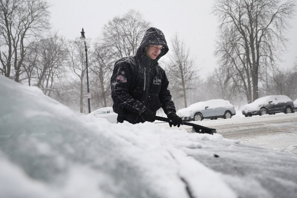

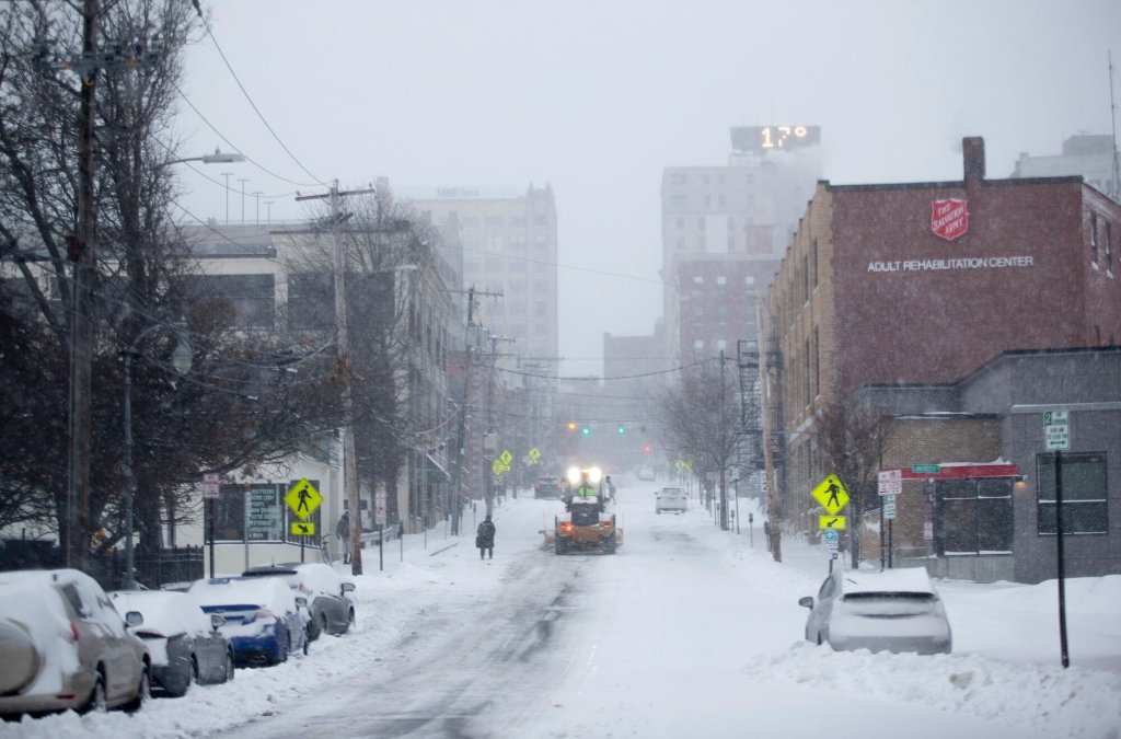
A winter storm has dumped between 3 and 6 inches of snow across southern Maine, but it looking not quite as potent at it appeared earlier this week.
The National Weather Service in Gray said it expects more snow in southern Maine on Thursday morning, but in most of the region said it’s likely only another inch or two will fall before the storm winds up later this morning or early afternoon. Some more snow, sleet and perhaps freezing rain is expected late tonight, Michael Clair, a meteorologist with the weather service, said.
Only an inch or two of additional snow is expected tonight, Clair said, but northern parts of the state may get more.
A winter storm warning that had been set to expire at 7 p.m. will instead end at 1 p.m., the weather service said.
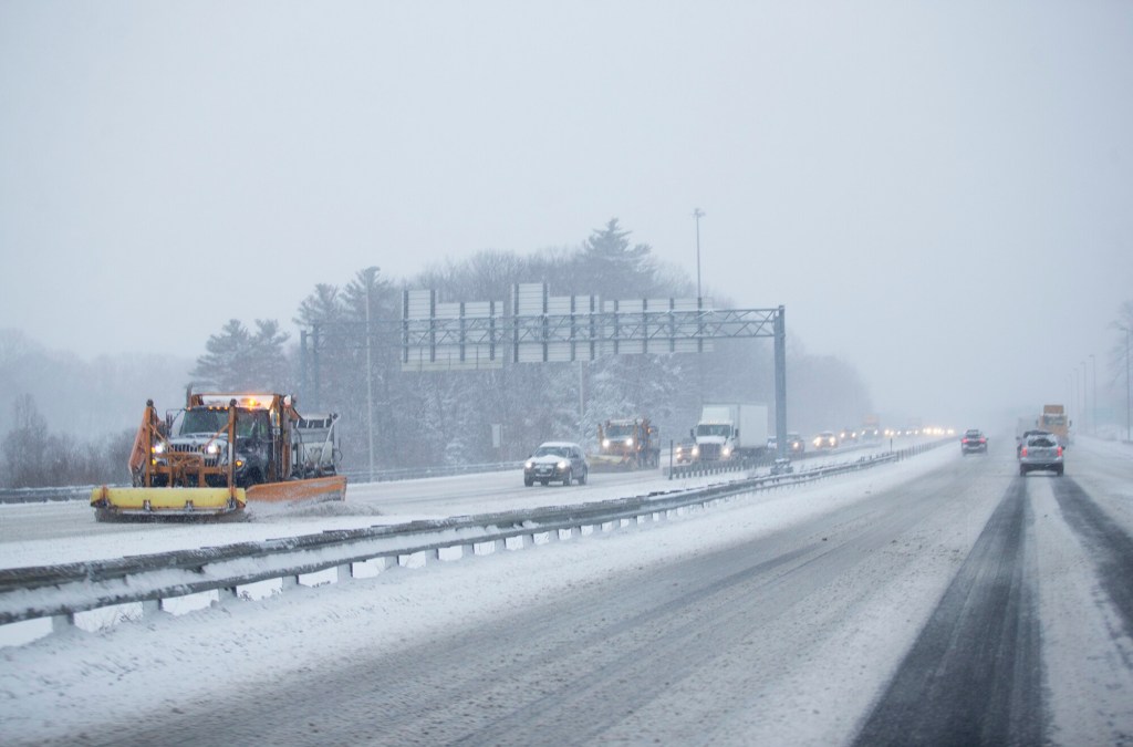
Most flights were on time at the Portland International Jetport, but the Maine Turnpike Authority reduced the speed limit to 45 for the entire 109-mile length of the highway because of snow.
Clair said it will turn colder Friday and Friday night, with lows dipping to near zero or just below. A strong wind will make it feel like -20 degrees or so, he said, and it will remain cold with highs in the teens or around 20 degrees Saturday, but the wind will die down and lows on Saturday night will be not quite as cold as Friday night.
He said forecasters are watching development of another storm that will move east early next week but it’s not clear yet how strong it will be and whether it will hit Maine or move further south.
Send questions/comments to the editors.

Success. Please wait for the page to reload. If the page does not reload within 5 seconds, please refresh the page.
Enter your email and password to access comments.
Hi, to comment on stories you must . This profile is in addition to your subscription and website login.
Already have a commenting profile? .
Invalid username/password.
Please check your email to confirm and complete your registration.
Only subscribers are eligible to post comments. Please subscribe or login first for digital access. Here’s why.
Use the form below to reset your password. When you've submitted your account email, we will send an email with a reset code.