

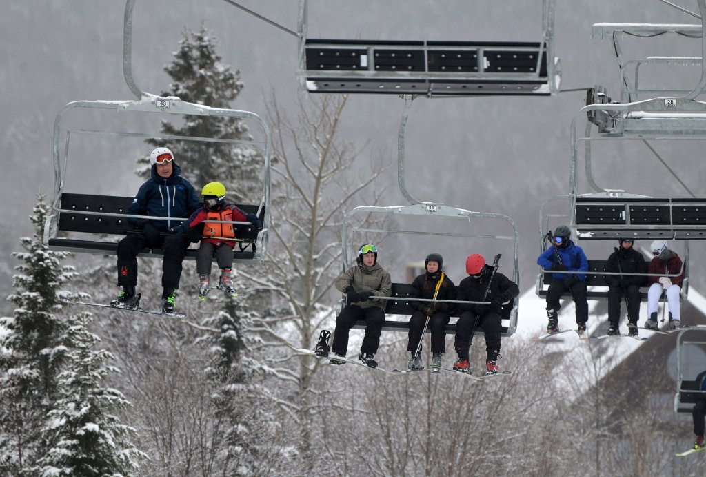
Skiers ride the lift at Saddleback Mountain Sandy River Plantation on Wednesday. While the area has gotten some snow lately, not much new snow is expected in Sunday’s storm. Rich Abrahamson/Morning Sentinel
A few flurries or snow showers are possible in Maine on Thursday. Cold air then arrives for Friday, ahead of widespread snowfall on Sunday. Widespread plowable snow in southern Maine is looking increasingly likely.
A weak system will move through Maine Thursday. Snow showers and flurries are possible through the day, but any light accumulations will be confined to the mountains. Highs will be in the 30s to near 40.
As of right now, the Portland area through the Midcoast and points south have the highest likelihood of seeing a half foot or more of snow. Areas to the north through central Maine and into the mountains will also likely see at least a few inches, but confidence in at least 6 inches of snow is not as high at this time. Exact amounts will become clearer by Friday.
The best chance of more than 6 inches of snow will be in southern Maine from the midcoast down through New Hampshire. Less likelihood of bigger totals to the north, but they are certainly still possible. WGME graphic
This will be a cold, fluffy snow. While winds don’t look to be a huge factor on Sunday, some breezy winds could keep visibility low and some of the snow blowing around. Not the best travel day on Sunday.
After the storm moves out Sunday evening, things clear out for Monday, remaining chilly in the 20s. Quiet weather will not be sticking around long, however.
Clouds quickly return Tuesday, and a powerful storm looks to move in Wednesday. Rain, snow, wind, and coastal issues are all on the table. Stay tuned heading into next week as we track the second storm of the week.
Send questions/comments to the editors.

Success. Please wait for the page to reload. If the page does not reload within 5 seconds, please refresh the page.
Enter your email and password to access comments.
Hi, to comment on stories you must . This profile is in addition to your subscription and website login.
Already have a commenting profile? .
Invalid username/password.
Please check your email to confirm and complete your registration.
Only subscribers are eligible to post comments. Please subscribe or login first for digital access. Here’s why.
Use the form below to reset your password. When you've submitted your account email, we will send an email with a reset code.