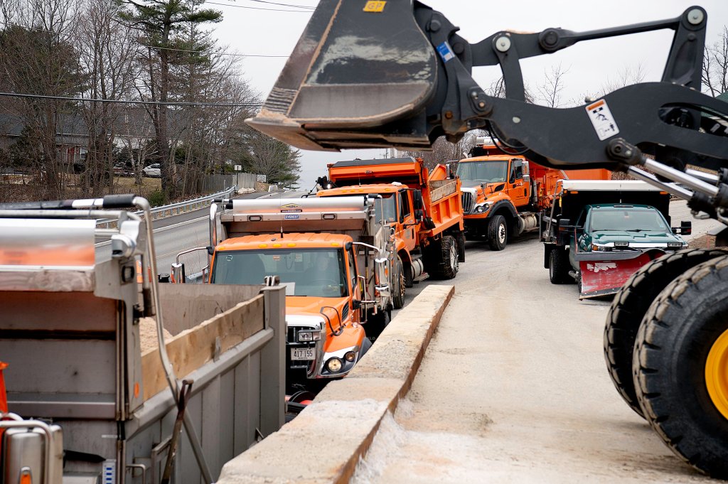
There was to be no last minute reprieve. There was no softening of the forecast — if anything, weather predictions became more dire on Wednesday as a powerful snow storm pushed closer to Maine.
With cold air arriving earlier than expected in the region, predictions Wednesday afternoon were calling for up to a full two feet of snow in some areas near the coast.
Away from the coast, including in the Androscoggin County area, between 8 and 14 inches of snow are expected to fall between Wednesday night and the end of the day Thursday.
And the snow that falls is expected to be of the so-called “heart attack” variety: heavy, wet and hard to move.
“Shovel only what you have to,” advised Mike Haggett, of Pine Tree Weather. “The above-normal temperatures next week will clean it up organically.”
What will likely be winter’s last hurrah is expected to come in the form of a ferocious storm, with gusting winds and heavy snow apt to bring down tree limbs and utility lines all over the state. By now, we all know what those kinds of conditions mean: power outages and possibly lots of them.
“Heavy, wet snow can significantly slow travel, and having the right personnel, equipment, and materials in the right places ahead of a storm like this can help ensure fast and safe power restoration,” said Jon Breed, spokesperson for Central Maine Power. “Weather conditions are going to be hazardous on Thursday, and we ask everyone to use caution on the roads in the coming days. When you see our crews out restoring power, please slow down and give them plenty of space to do their important work.”
The National Weather Service offices in Gray and Caribou report a rain-snow mix will begin Wednesday evening. That will be followed by high winds of up to 50 mph and wet, heavy snow through Thursday. Wind gusts up to 60 mph are possible along the immediate coast. Minor coastal flooding is possible with concern about York and Cumberland Counties during Thursday morning’s high tide.
Weather and emergency management officials were adamant: this spring storm is going to be so messy, those who are able should just hunker down at home and wait it out — with flashlights and candles close at hand.
“Travel is discouraged during this storm due to unfavorable driving conditions,” said Maine Emergency Management Director Pete Rogers. “Folks need to be prepared at home for the possibility of an extended power outage with emergency supplies, alternate power sources, and should charge their mobile devices in advance.”
Call it a Nor’easter, a blizzard or even Snowpocalypse. By any name, the storm is expected to be troublesome, and winter weary Mainers have been preparing for it all week.
Snow shovels packed away after the last storm in March were hauled back out. Snowblowers were filled with fuel and generators were rolled back into position.
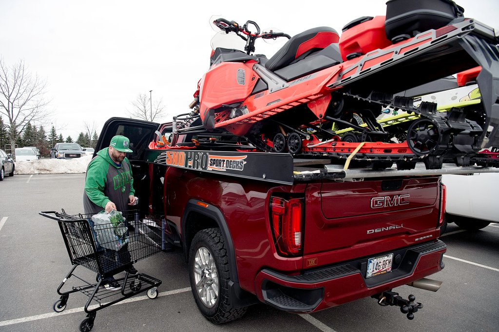
All day Wednesday and into the evening, area grocery stores were busier than usual and the standard items were being grabbed off the shelves: milk, bread, toilet paper, coffee, creamer, bottled water and batteries among them.
“I just got all my apocalypse food because I know I won’t be able to get out until the snow melts,” said Lisa Mossburg Bridges of Lewiston.
A few locals reported that they didn’t have to do much to prepare for the overnight blizzard — a major storm that crippled the region in December taught them to ALWAYS be prepped.
“Ever since the big ice storm we’ve always made certain we have a camp stove, propane for it, a generator, gas for it — and we’re all set,” said Anissa Roberts of Brunswick.
“We got our generator finally hooked straight to our fuse box so that’s all set if we lose power everything will still work,” said Rebecca Akers of Oxford. “Got plenty of food and plans for a delicious ham and potato soup and every other food and drink you could possibly need on a snowy day and a list of shows to keep us entertained.”
The National Weather Service issued winter storm warnings for all of Maine north of Rockland and regular storm warnings along the coast.
Police departments announced overnight parking bans all over the place. If you have street parking in your city or town, don’t even think of parking there until the storm is over.
In advance of the storm, Gov. Janet Mills ordered all state offices closed.
“I urge Maine people to take proper precautions and to prepare for possible power outages,” Mills said Wednesday afternoon. “We recommend that you stay off the roads if you can, but if you must travel during the storm, be sure to give plow trucks, utility crews, and emergency first responders plenty of room as they work to keep us safe.”
In a lot of areas, city services were going to be down for the day Thursday, as well. In Auburn, officials announced Wednesday afternoon that City Hall will be closed all day Thursday.
In Lewiston, officials announced that their Solid Waste Facility will be closed all day Thursday. Trash will still be collected curbside during the day, but recycling will not.
Lewiston also canceled a budget workshop previously scheduled for Thursday night. Several area towns also postponed meetings in expectation of sloppy travel throughout the day Thursday.
With potentially dangerous weather bearing down, officials at Lewiston’s warming shelter at Calvary United Methodist Church were opening early and staying open into Thursday afternoon to accommodate the homeless looking to get out of the storm. The Sabattus Street shelter was opening at 8 p.m. Wednesday and will remain in operation until 2 p.m. on Thursday.
State Police, meanwhile, were trying to forestall problems ahead of the storm. For one thing, they were advising people that when there are power outages, there is a right way and a wrong way to report them.
“During the most recent storm, each 911 center in Maine was overwhelmed with people calling 911 to report a power outage,” State Police said in a Facebook post Wednesday afternoon. “Unless there is an emergency, please contact your local power provider and NOT 911 to report power outages so we can take care of emergencies as they come in. In emergency situations, please call 911.”
By nightfall Wednesday, heavy clouds began rolling into the area and it had begun to rain in some regions. Right on schedule, according to the forecasters. The spring storm was coming right at us whether we liked it or not.
“We’re in for it,” said Haggett, the forecaster with Pine Tree Weather. “The final insult.”
Copy the Story LinkSend questions/comments to the editors.


Success. Please wait for the page to reload. If the page does not reload within 5 seconds, please refresh the page.
Enter your email and password to access comments.
Hi, to comment on stories you must . This profile is in addition to your subscription and website login.
Already have a commenting profile? .
Invalid username/password.
Please check your email to confirm and complete your registration.
Only subscribers are eligible to post comments. Please subscribe or login first for digital access. Here’s why.
Use the form below to reset your password. When you've submitted your account email, we will send an email with a reset code.