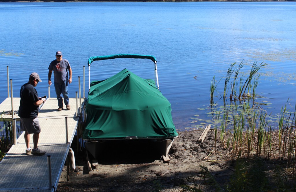
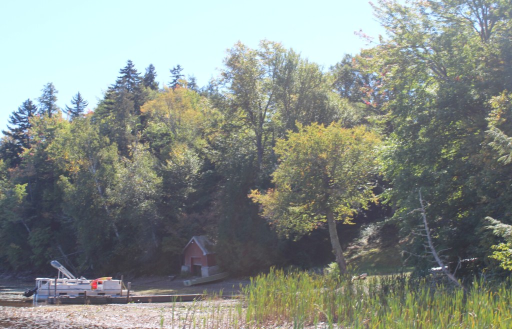
In September of 2021, boats and docks were left sitting in the mud on Lake Umbagog. Some residents believe it was the lowest water level in decades.
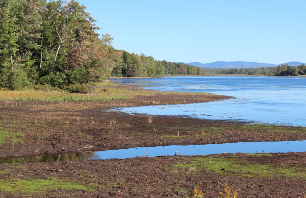
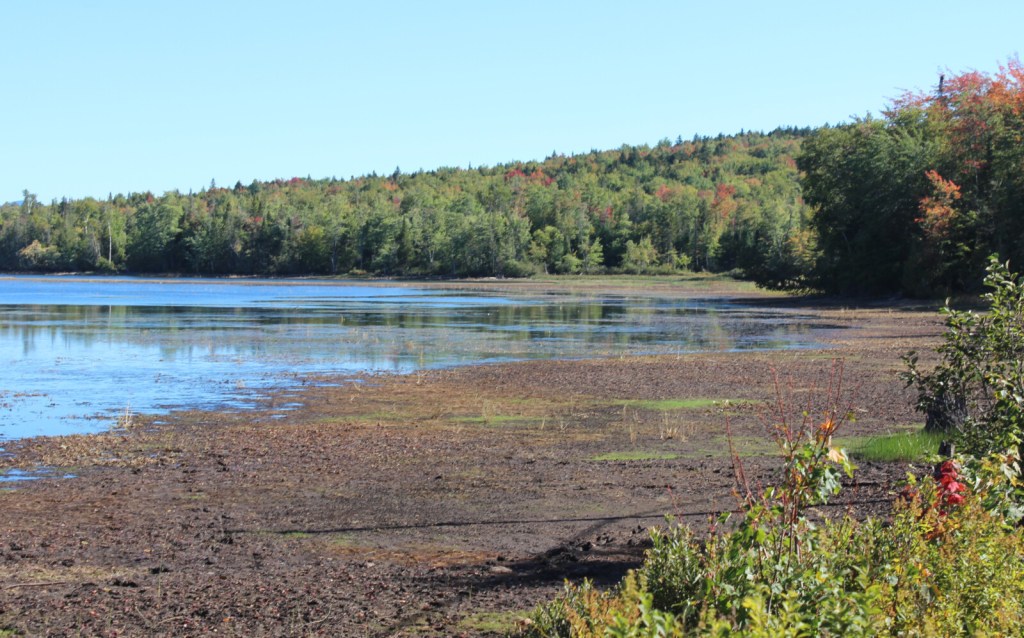
At its most extreme on Sept. 15, 2021, the surface of Lake Umbagog was 4 1/2 feet lower than it would ordinarily be had the lake been full, exposing bare, muddy shores.
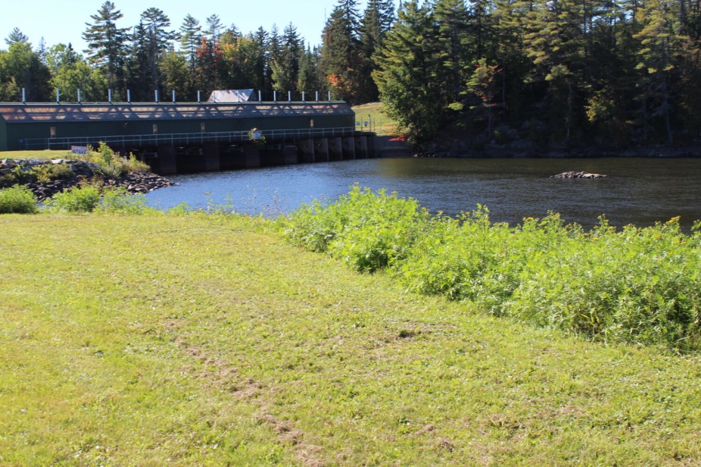
The Errol Dam's license, issued in 1983, expires in 2023. Lake Umbagog locals are requesting changes to the license agreement which would improve the lake's water levels.
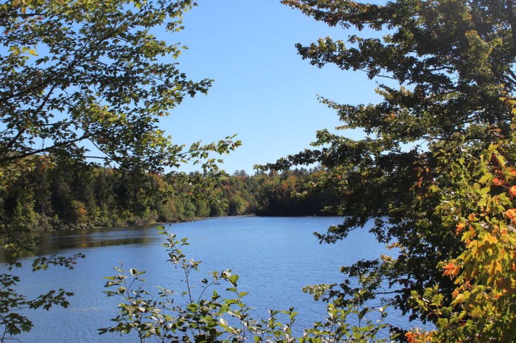
Lake Umbagog, located on the border of Maine and New Hampshire, is the last in the Rangeley region’s chain of lakes. The outflow of Umbagog is the top of the Androscoggin River.
At its most extreme on Sept. 15, 2021, the surface of Lake Umbagog was 4 1/2 feet lower than it would ordinarily be had the lake been full, exposing bare, muddy shores.
At its most extreme on Sept. 15, 2021, the surface of Lake Umbagog was 4 1/2 feet lower than it would ordinarily be had the lake been full, exposing bare, muddy shores.
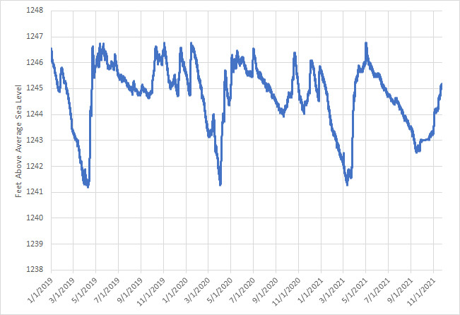
Water level of Lake Umbagog from 2019-2021. The lake is considered full when the water level reaches 1247 feet above average sea level.