
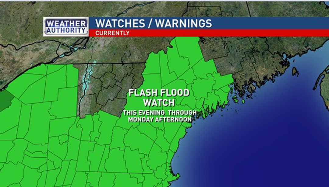
Flash Flood Watch goes into effect this evening and extends through Monday afternoon. (Charlie Lopresti/WGME)
Sunday’s weather will be tranquil compared to what’s in store for the overnight and Monday morning. A tropical system moving up the coast will merge with trough of low pressure and come through New England. The main concerns with this storm are flooding and wind damage.
Winds will noticeably pick up after sunset. The window for the worst weather will be between midnight and 8am Monday.
Winds will gust 40 to 55 mph, almost certainly causing power outages. Peak gusts should get into the 55 to 60 mph range for many coastal communities. Some midcoast locations and buoys/lighthouse locations may experience gusts over 60 mph.
During this window, most of central and southern Maine will receive 1-3” of rain with a few spots possibly getting 4”.
This has the potential to cause flash flooding.
The storm will be a quick hitter.
The winds will die down Monday afternoon and the rain should exit by 5PM.
— Meteorologist Adam Epstein
High Wind Warning and Wind Advisory goes into effect at Midnight and extends through 11AM Monday. pic.twitter.com/Xvi084HcQb
— Charlie Lopresti (@CharlieWGME) October 29, 2017
Comments are no longer available on this story