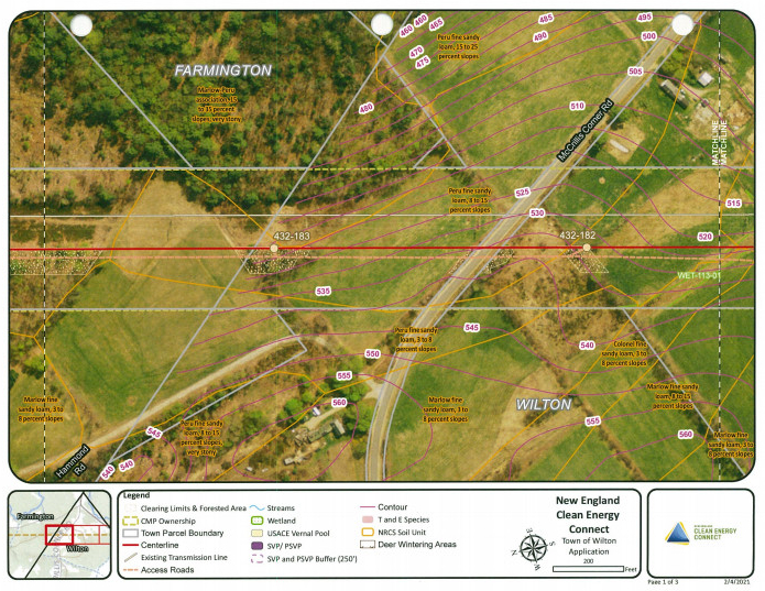
The red line indicates where the New England Clean Energy Connect corridor would cross through Farmington into Wilton over nearly two miles of forested and agricultural land.
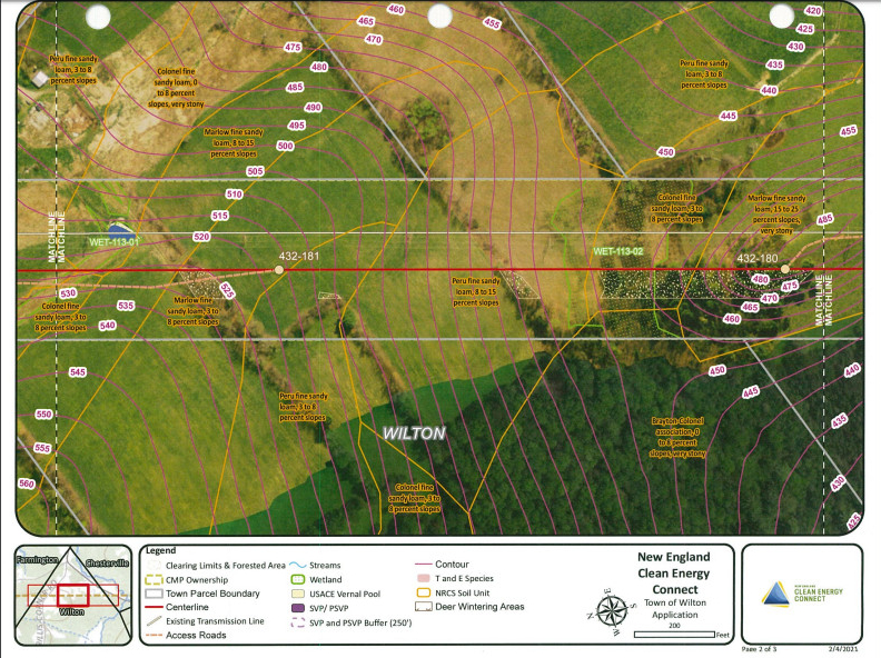
The New England Clean Energy Connect corridor would cross over nearly two miles of forested and agricultural land in Wilton from McCrillis Corner Road to Wilton Road/Route 156. The two areas labeled WET-113-01 and WET-113-02 indicate wetland areas that the high transmission line would cross over.
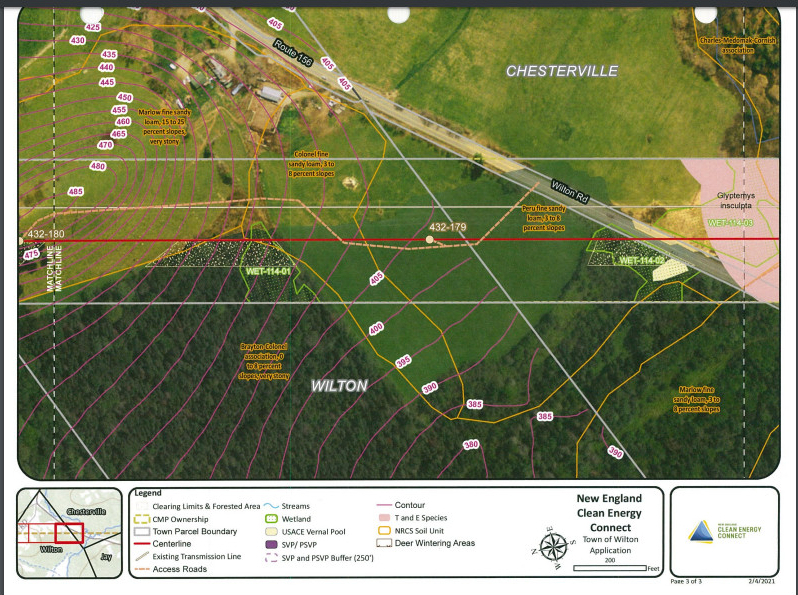
The red line indicates where the New England Clean Energy Connect corridor would cross through Wilton into Chesterville. The two green areas labeled as WET-114-01 and WET114-02 are wetland areas that the high-transmission line would cross over.