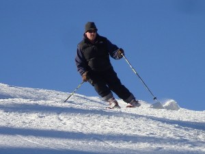
NEWRY — So, where’s the snow?
Officially, winter’s still more than a month away, but Western Maine snowmakers at Sunday River, Sugarloaf, and Saddleback ski resorts are getting anxious to fire up the snow guns.
Sunday River Ski Resort, which opened Oct. 22 to make it the first ski resort in the nation to open this season, closed Monday but will reopen Friday, Nov. 19, spokeswoman Darcy Morse said Tuesday.
“We haven’t been able to make any snow as of recent, but it looks like the forecast is going to give us a window starting on Thursday,” Morse said. “So, we’ll fire up the guns then.”
Warm weather this past week and the lack of snow forced Sugarloaf to bump its opening date from this Friday to Sunday, based on Thursday’s forecast for colder weather, spokesman Ethan Austin said.
“We’re pretty hopeful for Sunday if the forecast holds the way it is now,” Austin said. “But we’ll have to wait and see what the temps are like as we get closer.”
Ian Grierson, director of retail for Saddleback Mountain, which doesn’t open until Dec. 11, said he was “almost positive” that they will fire up the snow guns by next week if forecasts for colder weather pan out.
Meteorologist John Cannon of the National Weather Service in Gray said colder weather is indeed on Maine’s doorstep, but little if any snow.
“It’s coming our way, but we’ve got a couple of more mild days to go before we get into the deep freeze,” Cannon said.
He said cold air would rush into Maine on Wednesday night, touching off the possibility of some light snow in the mountains Friday night into Saturday. That will be followed by another rush of cold air — but no storms.
Cannon said it’s still early for Maine, which typically gets colder air near Thanksgiving.
“We’re right on track for that,” he said.
But early snowfall?
“We’ve had a whopping zero for Portland, so it’s a total of 1.2 inches below normal,” he said. “I wouldn’t get too worried about it. It will be on its way.”
Cannon said that until the current weather pattern changes, he didn’t foresee much snowfall.
“There are storms out there, but not of the white variety,” he said. “We still have a large, upper-level ridge in the East that’s keeping mild conditions anywhere east of the Mississippi and we need that to switch.”
For that to happen, Cannon said Hudson Bay in northeastern Canada must ice over.
“We need a Hudson Bay low to form and that’s when cold Canadian air builds up and the ice sheets form and rejuvenate the cold air over the continent,” he said. “It’s a gradual process, but it’s coming over the next couple of weeks.”
And that’s good news for ski resorts.

Supporting Sponsor for the Advertiser Democrat
Keeping communities informed by supporting local news. norwaysavings.bank

Supporting Sponsor for Franklin Journal, Livermore Falls Advertiser, Rangeley Highlander and Rumford Falls Times.
Keeping communities informed by supporting local news. franklinsavings.bank

Comments are no longer available on this story