
JAY — The Androscoggin Greenway Map has been updated and is available for residents.
The updated map was one of three projects identified by local stakeholders during the 2015 Making Headway in Your Community pilot program.
Community members and businesses from Jay, Livermore and Livermore Falls engaged with GrowSmart Maine in three public events and projects to build relationships across the three communities and with regional resource organizations. The two other projects were re-shingling a portion of the roof of the Livermore Community Center and kiosks at the entrances to Androscoggin Land Trust conservation and recreational trails.
The Jay and Livermore Falls managers worked with John Maloney (now retired) at the Androscoggin Valley Council of Governments to identify updates and additions to the map and, with the support of Androscoggin Bank, Otis Federal Credit Union, Franklin Printing, CCGIS, AVCOG and GrowSmart Maine, the maps have been updated, printed and are available.
The map highlights areas of interest throughout Jay, Livermore Falls, Livermore and Canton and includes information on the Androscoggin River, lakes and ponds, area trails, local events, cultural attractions, local foods and farms and other information.
The maps are being distributed and will be available in each town as well as at the Androscoggin Bank in Jay and the Otis Federal Credit Union.
To learn more about the Making Headway in Your Community Program. visit http://bit.ly/MakingHeadwayinYourCommunity.
GrowSmart Maine is a statewide nonprofit organization working to build lasting prosperity without sacrificing the quality of life that defines Maine. Find out more and get in touch at www.growsmartmaine.org.
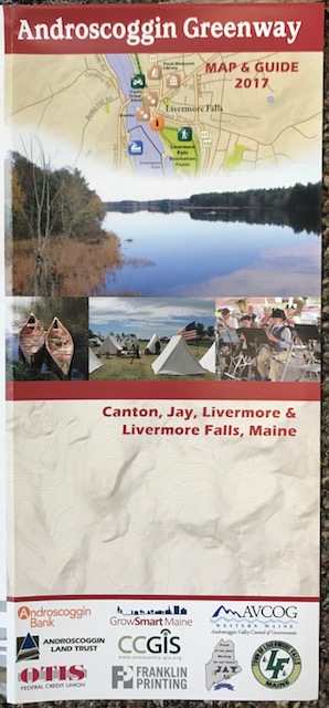
The Androscoggin Greenway map is now updated and available to residents.
Comments are no longer available on this story