


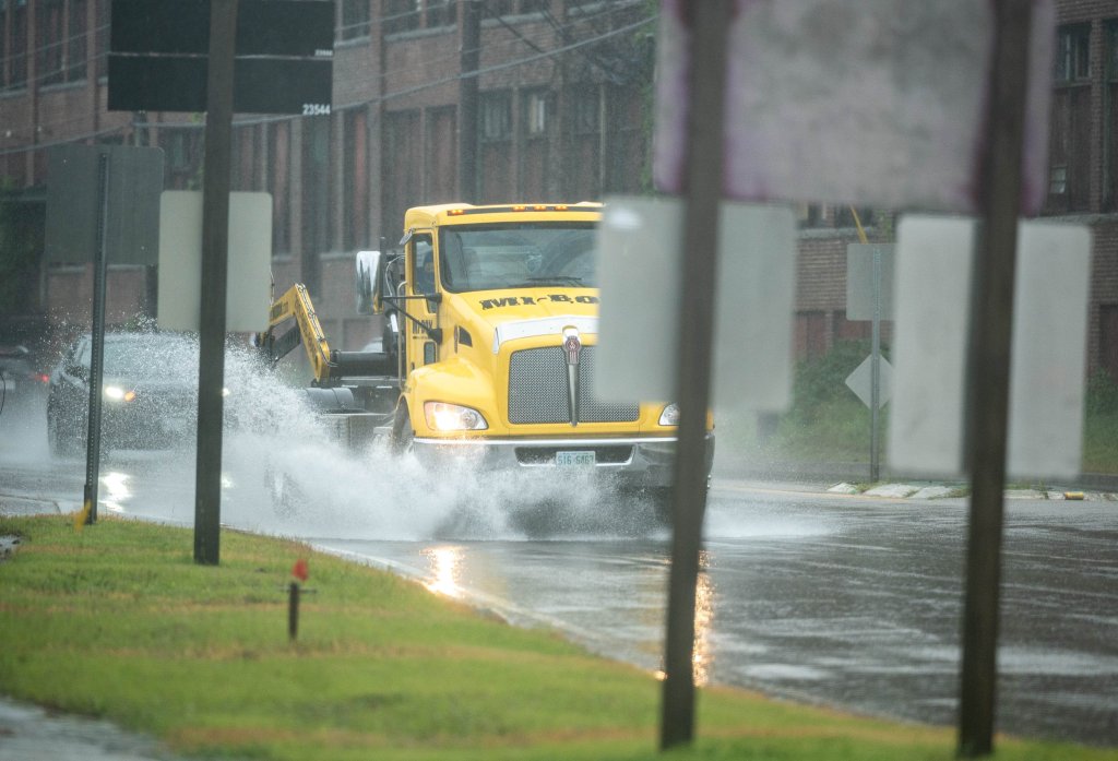


Heavy, sustained rains are causing localized flooding in southern and central Maine Tuesday morning.
The National Weather Service has issued a flash flood warning from northern York County and the Portland area through Lewiston and Augusta to Skowhegan. Most of the state is under a flood watch advisory into Wednesday.
As of noon, some areas in northwest Cumberland County and Androscoggin County had recorded 2 to 4 inches of rain, with another one to two inches expected this afternoon, said Donald Dumont of the National Weather Service in Gray.
“We’re starting to get some reports of roads closed and flooding,” Dumont said.
In Gray, Legrow Road is closed and Lewiston Road is restricted to one lane because of flooding. In Auburn, Park Avenue is closed and West Auburn Road is flooded and impassable, according to the weather service.
The weather service warned of flash flooding around small creeks and streams, urban areas, highways and streets, as well low-lying areas or areas with poor drainage. Some locations that will experience flash flooding include Portland, Lewiston, South Portland, Auburn, Biddeford, Brunswick, Augusta, Westbrook, Bath and Gardiner, including the I-295 corridor between Portland and Augusta, according to the advisory.
Meteorologist Jon Palmer described the weather pattern as “training,” where storms line up on top of each other often moving over the same area and dumping heavy rain on that area in a short period of time. Palmer said there will be thunderstorms embedded within the storm train.
Cumberland County Emergency Management Agency Director Michael Durkin said the agency is monitoring the Presumpscot River in Falmouth, the Royal River in Yarmouth, and Stony Brook in Casco.
“All three of them are high, obviously, but they’re lower than the state they were in on July 30, when we had the last big push with the storm coming through,” he said. “We’re expecting as the rain comes through, they’re going to kind of keep on rising throughout the afternoon.”
Durkin suggested residents in affected areas should avoid the roads if possible. If a driver does come across a flooded area, they should not attempt to drive through it, even if the water looks shallow.
Art Cleaves, director of the York County Emergency Management Agency, said at 12:15 that he expected to hear reports of minor flooding in the county’s northeast quadrant “any time now.” But based on the forecast, he did not expect the Saco River to overflow.
“Each of the storms that have happened since May have taken us right to the brink of what we would call major flooding or major washouts,” he said. “I don’t know how much more rain we’re going to get this afternoon, but it puts us right on the edge again.”
While the area has been lucky to avoid major flooding like the washouts that wrought havoc on Vermont last month, Cleaves warned that the high water levels in local rivers could still prove dangerous, especially as the peak of the Atlantic hurricane season arrives in the coming weeks.
This story will be updated.
Send questions/comments to the editors.

Success. Please wait for the page to reload. If the page does not reload within 5 seconds, please refresh the page.
Enter your email and password to access comments.
Hi, to comment on stories you must . This profile is in addition to your subscription and website login.
Already have a commenting profile? .
Invalid username/password.
Please check your email to confirm and complete your registration.
Only subscribers are eligible to post comments. Please subscribe or login first for digital access. Here’s why.
Use the form below to reset your password. When you've submitted your account email, we will send an email with a reset code.