

A drive through western Maine offers a mix of waterfalls, swimming holes and lakes set along mountain roads. The route moves between narrow rock gorges, wide granite ledges and calmer stretches of water, with a combination of roadside access, short trails and developed public beaches.
Together, these sites form one of the most concentrated clusters of accessible waterfalls and freshwater swimming spots in western Maine, drawing both day-trippers and seasonal visitors seeking relief from summer heat.
WATERFALLS AND GORGES
Cascade Stream Gorge Falls, Carrabassett Valley (Route 27): A narrow gorge where water moves quickly between steep rock walls, with several roadside viewpoints.
Falls at Frenchman’s Hole, Township E (off Route 17): A short path leads to a deep pool where water funnels between tall rock walls into a shaded basin. Water depth and current can vary.
Dunn Falls, Andover (East B Hill Road trailhead): A two-part waterfall with upper and lower drops, reached by a short but moderately steep wooded trail.
Smalls Falls, Rangeley (Route 4): Four distinct drops flow into clear pools with easy roadside access. Popular for swimming, though rocks can be slick and current stronger near the falls.
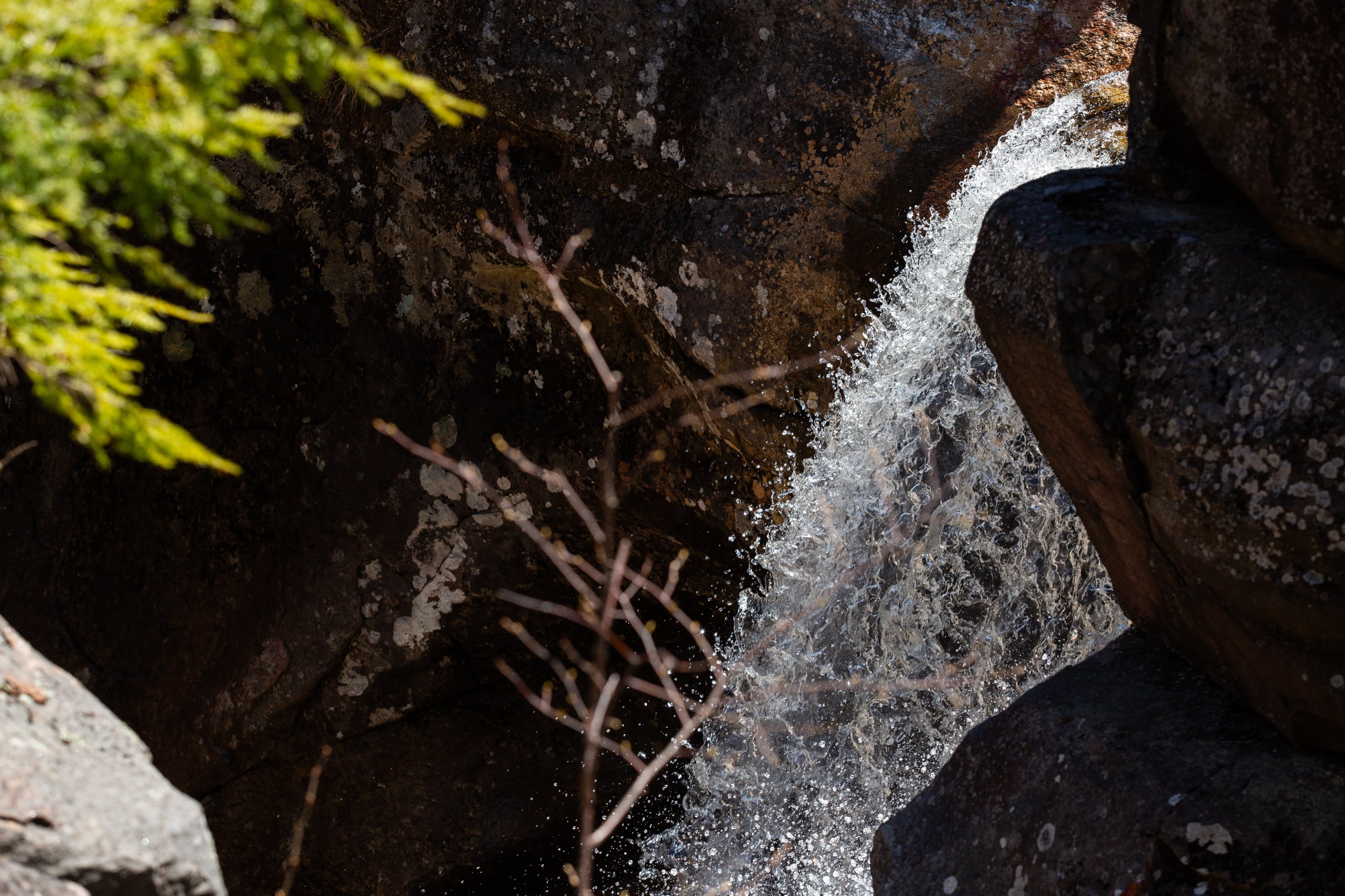
Screw Auger Falls, Grafton Notch Township (Route 26): A 27-foot drop along the Bear River where water cuts through a tight gorge, forming smooth, rounded rock and deep chutes. A short path leads to a viewing area above the falls. Surfaces are often slippery and the current moves quickly through narrow channels.
Mother Walker Falls, Grafton Notch Township (Route 26, trail access near Moose Cave): A narrower, multitier waterfall along the same river system, viewed from a short trail off Route 26. The falls are less developed than nearby stops and are typically visited as part of a short hike that also passes Moose Cave.
Step Falls, Newry (Step Falls Preserve, Step Falls Road): Water spreads across smooth granite ledges, forming shallow pools and gradual cascades that are easy to explore. One of the most accessible and family-friendly stops in Maine, though surfaces can be slippery.
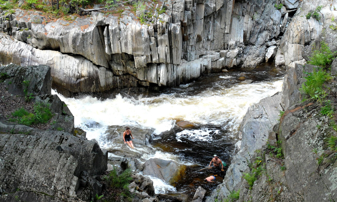
Coos Canyon, Byron (Route 17 roadside access): A section of the Swift River where water runs through carved rock channels, creating strong cascades and deep pools. Known as a swimming and cliff-jumping area, with current that can be fast depending on conditions.
Snow Falls Gorge, West Paris (Barrows Road and Snow Falls Road area): A wide drop on the Little Androscoggin River, viewed from a bridge and nearby walkways.
Rattlesnake Pool, Stow (Route 113): A quieter stop with a broad pool formed below smaller cascades in a wooded setting. Flow conditions can change after rain.
The Cataracts, Andover (East B Hill Road): A series of cascading drops along a forested trail with multiple viewing points. Terrain can be uneven and wet.
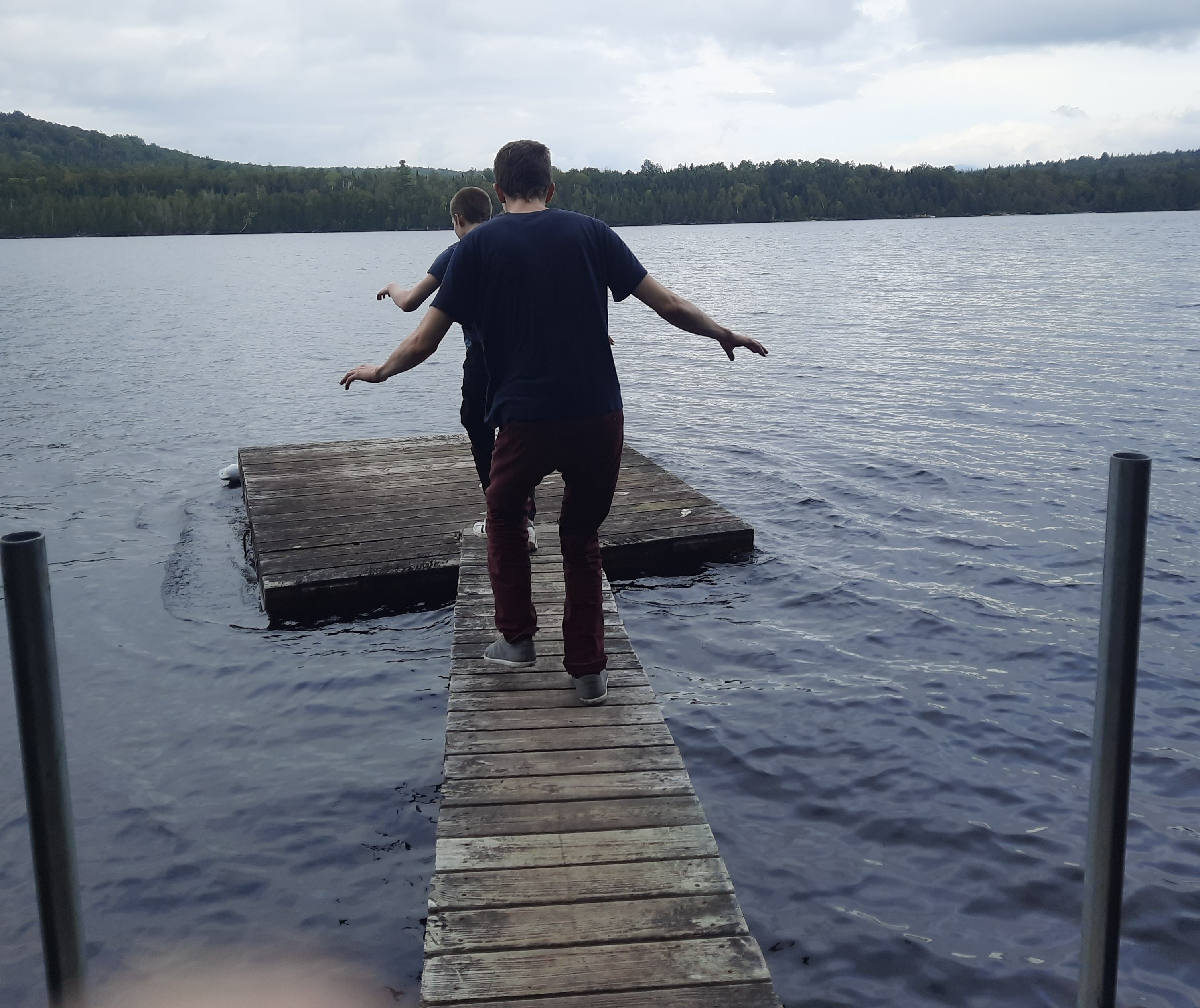
SWIMMING SPOTS
These locations provide places to swim, wade, or spend time along the water, along with a few scenic riverfront viewing areas.
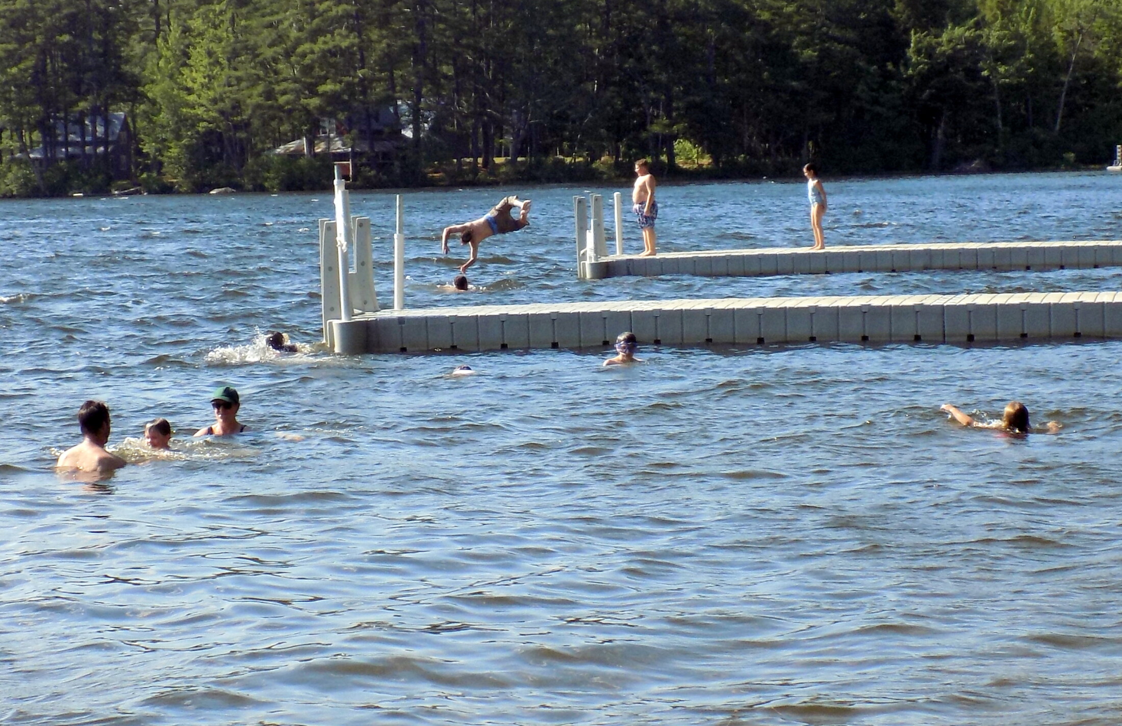
Kineowatha Park/Wilson Lake in Wilton: Kineowatha Park has a maintained beach and swim area, free for residents and fee-based for nonresidents. At the head of the lake, benches and open shoreline provide additional access where swimming is common. Water is generally calm compared to river locations.
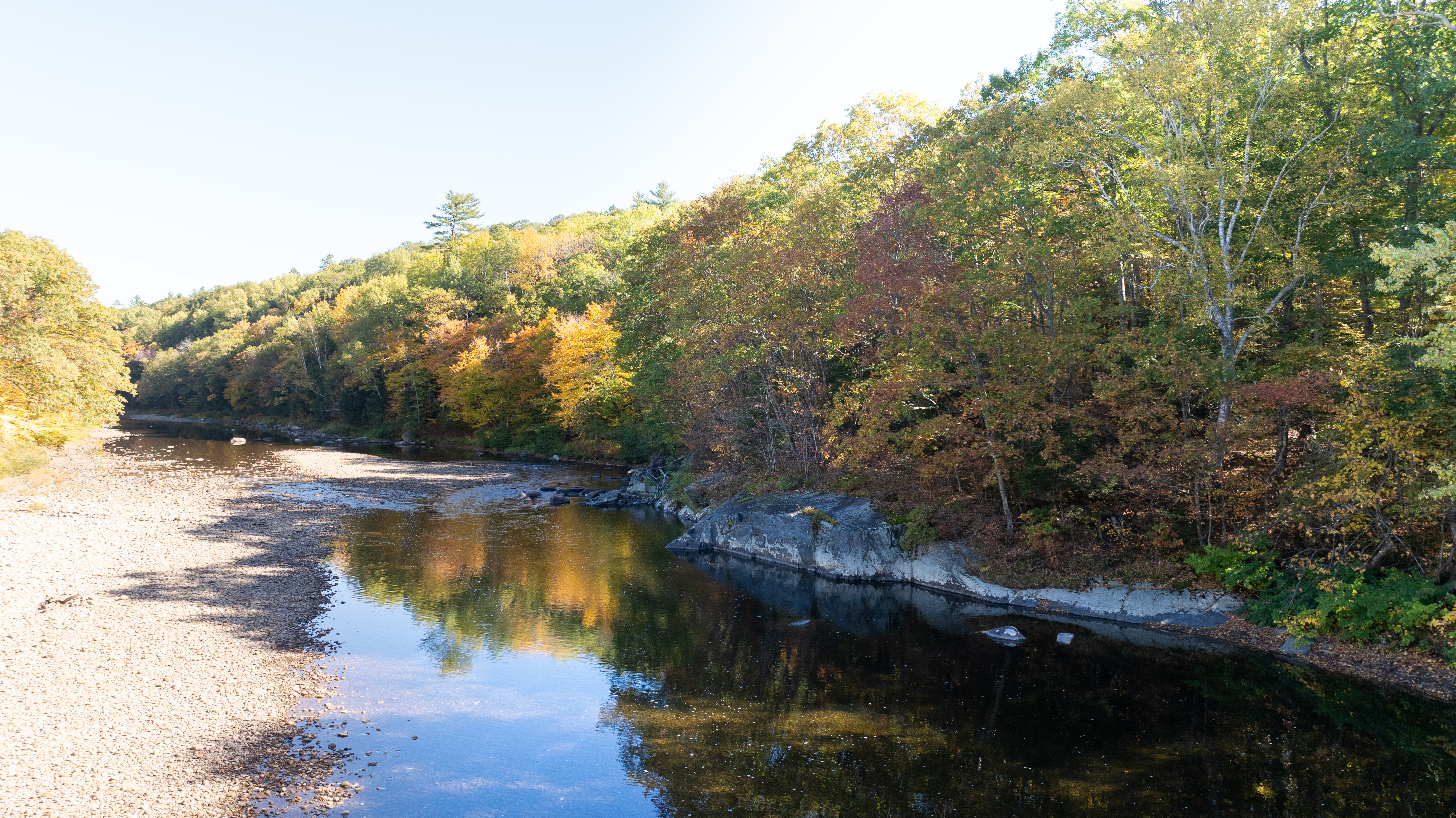
Sandy River, Farmington (downtown, Prescott Field and Route 156 access points): A widely-used tubing and swimming river with shallow sections and gravel bars. Current varies by location and increases after rainfall.
Clearwater Lake, Farmington/Industry: A quiet lake with clear water and typically calm conditions. Access points are limited and informal.
Webb Lake, Weld (Mt. Blue State Park, off Route 142): A large lake with a designated beach and gradual entry. One of the most consistent and controlled swimming environments in the area.
Rangeley Lake, Rangeley (town park and public access points): A larger, deeper lake with colder water. Conditions can vary with wind and weather.
Androscoggin River, Jay (public access varies): Primarily a scenic stop with visible current and rocky shoreline. Not considered a swimming location.
Round Pond, Livermore (public boat access area): Includes a small sandy area and boat launch. Used for light swimming, though space is limited.
Brettuns Pond, Livermore (residential access): Access is primarily limited to residents. Not a general public swimming destination.
Androscoggin River, Livermore Falls (downtown riverfront): A viewing area with benches and a gazebo overlooking the river. Not used for swimming.
Supporting Sponsor for Franklin Journal, Livermore Falls Advertiser, Rangeley Highlander and Rumford Falls Times.
Keeping communities informed by supporting local news. franklinsavings.bank


We invite you to add your comments. We encourage a thoughtful exchange of ideas and information on this website. By joining the conversation, you are agreeing to our commenting policy and terms of use. More information is found on our FAQs. You can update your screen name on the member's center.
Comments are managed by our staff during regular business hours Monday through Friday as well as limited hours on Saturday and Sunday. Comments held for moderation outside of those hours may take longer to approve.
Join the Conversation
Please sign into your Sun Journal account to participate in conversations below. If you do not have an account, you can register or subscribe. Questions? Please see our FAQs.